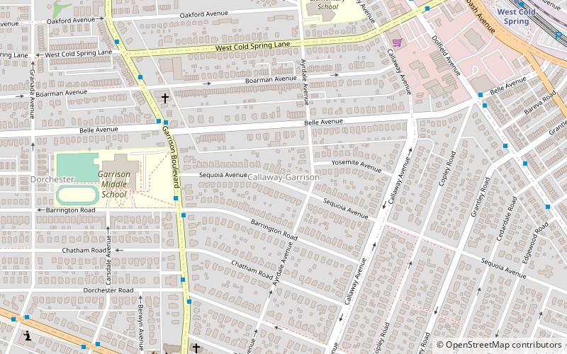
Callaway-Garrison, Baltimore
Map
Facts and practical information
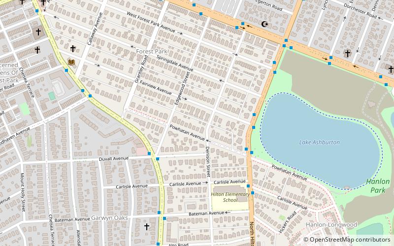
Callaway-Garrison is a neighborhood in the Northwest district of Baltimore, located between the neighborhoods of Dorchester and Ashburton. Its boundaries are marked by West Cold Spring Lane, Liberty Heights Avenue, Callaway Avenue and Garrison Boulevard. ()
Coordinates: 39°19'56"N, 76°40'46"W
Address
Northwestern Baltimore (Callaway - Garrison)Baltimore
ContactAdd
Social media
Add
Getting there by public transportation
Public transportation stops near this location
- Metro
- Bus
 Metro
Metro
- Calculate routeDolfield Avenue & Cold Spring Lane Far-side Northbound 10 min walk
- Calculate routeCold Spring Lane & Metro Entrance Opposite Westbound 12 min walk
- Calculate routeWest Coldspring 13 min walk
- Calculate routeRogers Avenue 28 min walk
Day trips


Frequently Asked Questions (FAQ)
Which popular attractions are close to Callaway-Garrison?
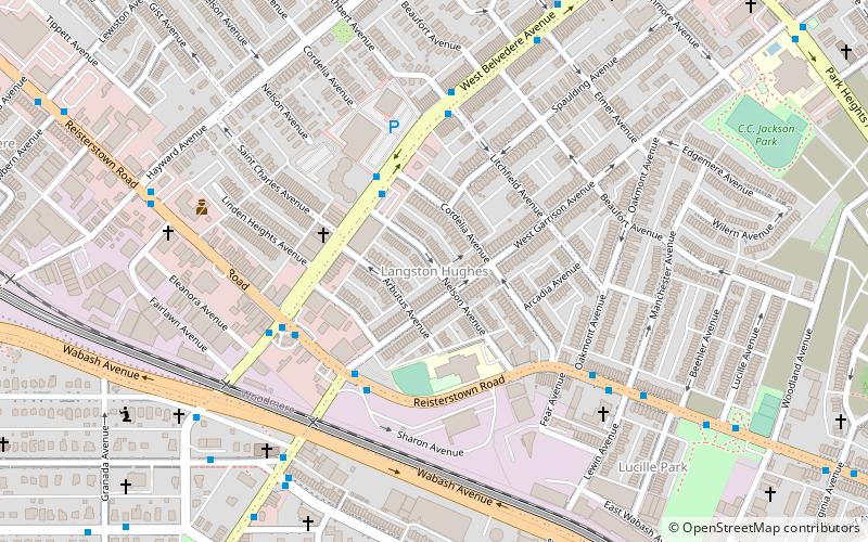
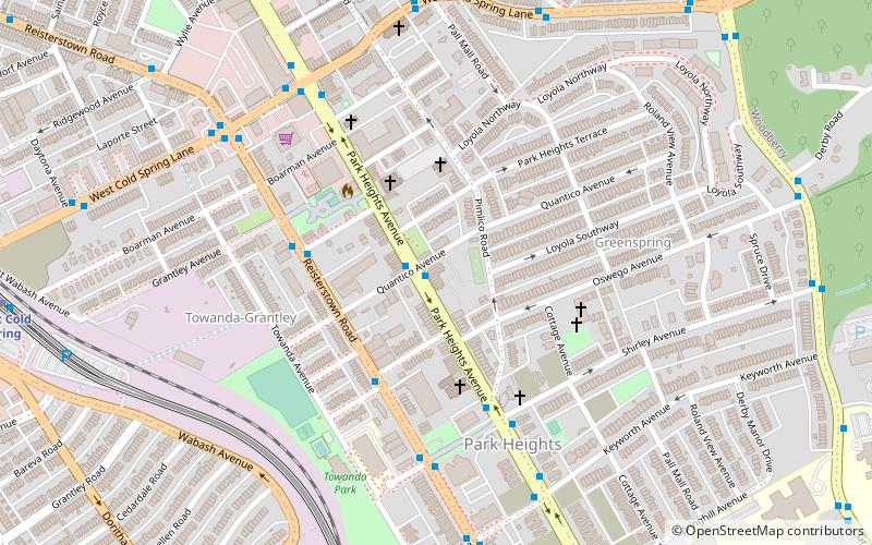
Nearby attractions include Hanlon Longwood, Baltimore (20 min walk), Langston Hughes, Baltimore (21 min walk), Greenspring, Baltimore (23 min walk), Park Heights, Baltimore (24 min walk).
How to get to Callaway-Garrison by public transport?
The nearest stations to Callaway-Garrison:
Bus
Metro
Bus
- Dolfield Avenue & Cold Spring Lane Far-side Northbound • Lines: 28, 82 (10 min walk)
- Cold Spring Lane & Metro Entrance Opposite Westbound • Lines: 28 (12 min walk)
Metro
- West Coldspring • Lines: M (13 min walk)
- Rogers Avenue • Lines: M (28 min walk)