MacArthur Tunnel, San Francisco
Map

Gallery

Facts and practical information
The MacArthur Tunnel, formally known as the General Douglas MacArthur Tunnel, is a highway tunnel in San Francisco, California. ()
Coordinates: 37°47'34"N, 122°28'10"W
Address
Northwest San Francisco (Presidio National Park)San Francisco
ContactAdd
Social media
Add
Day trips
MacArthur Tunnel – popular in the area (distance from the attraction)
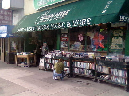
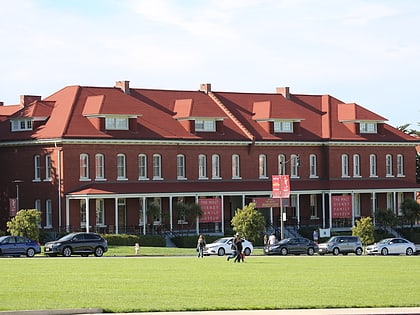
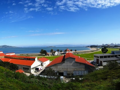
Nearby attractions include: Fort Point National Historic Site, Palace of Fine Arts, Green Apple Books, Presidio of San Francisco.
Frequently Asked Questions (FAQ)
Which popular attractions are close to MacArthur Tunnel?
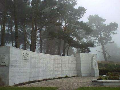
Nearby attractions include Mountain Lake Park, San Francisco (10 min walk), Presidio Terrace, San Francisco (15 min walk), San Francisco National Cemetery, San Francisco (15 min walk), Presidio of San Francisco, San Francisco (15 min walk).
How to get to MacArthur Tunnel by public transport?
The nearest stations to MacArthur Tunnel:
Bus
Trolleybus
Bus
- 407 Washington Boulevard • Lines: Ph (6 min walk)
- 410 Washington Boulevard • Lines: Ph (6 min walk)
Trolleybus
- California Street & 10th Avenue • Lines: 1 (15 min walk)

 Muni Metro

