Fort Point Light, San Francisco
Map
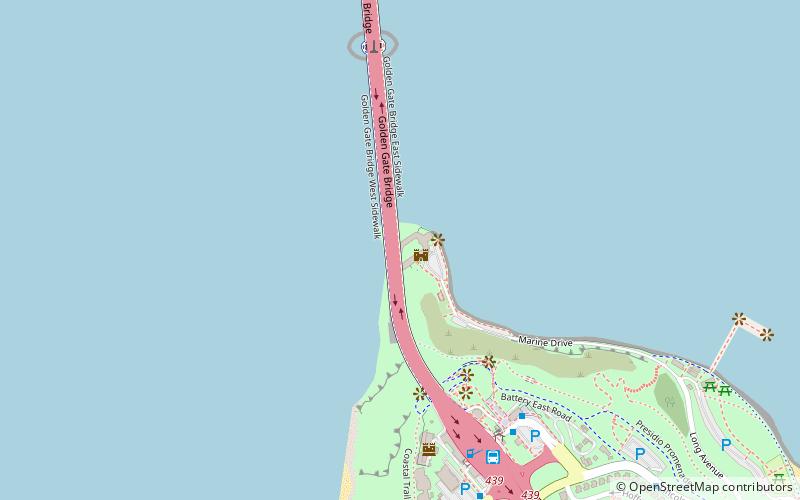
Map

Facts and practical information
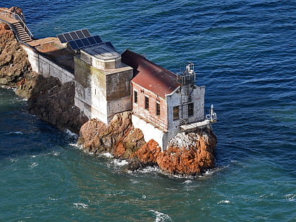
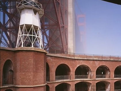
Fort Point Light is a decommissioned lighthouse built on the third tier of Fort Point, which is now directly beneath the south anchorage of the Golden Gate Bridge in San Francisco, California. The lighthouse is at the south end of the narrowest part of Golden Gate strait. It was preceded by two other lighthouses in nearby locations. The present lighthouse was in operation from 1864 until 1934. ()
Coordinates: 37°48'38"N, 122°28'38"W
Address
Northwest San Francisco (Presidio National Park)San Francisco
ContactAdd
Social media
Add
Day trips
Fort Point Light – popular in the area (distance from the attraction)
Nearby attractions include: Golden Gate Bridge, Fort Point National Historic Site, Presidio of San Francisco, Lime Point Light.
Frequently Asked Questions (FAQ)
Which popular attractions are close to Fort Point Light?
Nearby attractions include Fort Point National Historic Site, San Francisco (1 min walk), Torpedo Wharf, San Francisco (11 min walk), House of Air, San Francisco (16 min walk), Greater Farallones National Marine Sanctuary, San Francisco (17 min walk).
How to get to Fort Point Light by public transport?
The nearest stations to Fort Point Light:
Bus
Bus
- Golden Gate Bridge Toll Plaza • Lines: 101, 101X, 18, 2, 24, 24C, 24X, 27, 30, 38, 38A, 4, 4C, 54, 54C, 56X, 58, 70, 72, 72X, 74, 76, 8, 92 (7 min walk)
- Coastal Trail • Lines: Ph (20 min walk)
 Muni Metro


