Medford Pipe Bridge, Middlesex Fells Reservation
Map

Map

Facts and practical information
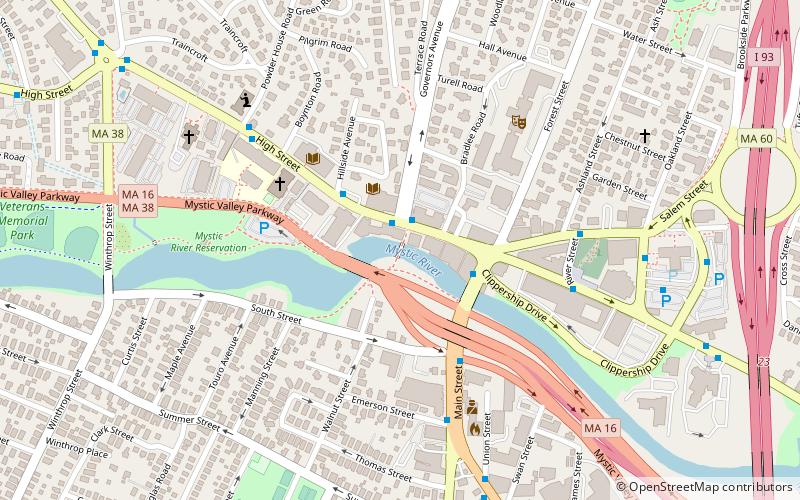
The Medford Pipe Bridge is a historic plate girder pipeline bridge over the Mystic River, between S. Court St. and the Mystic Valley Parkway in Medford, Massachusetts. It was built in 1897 as part of the Metropolitan Water Board's northern high and low service. ()
Coordinates: 42°25'6"N, 71°6'42"W
Address
MedfordMiddlesex Fells Reservation
ContactAdd
Social media
Add
Day trips
Medford Pipe Bridge – popular in the area (distance from the attraction)
Nearby attractions include: Salem Street Burying Ground, Goddard Chapel, Unitarian Universalist Church of Medford, Ballou Hall.
Frequently Asked Questions (FAQ)
Which popular attractions are close to Medford Pipe Bridge?
Nearby attractions include Hillside Avenue Historic District, Middlesex Fells Reservation (4 min walk), John B. Angier House, Middlesex Fells Reservation (6 min walk), Salem Street Burying Ground, Middlesex Fells Reservation (6 min walk), Unitarian Universalist Church of Medford, Boston (7 min walk).
How to get to Medford Pipe Bridge by public transport?
The nearest stations to Medford Pipe Bridge:
Train
Train
- West Medford (29 min walk)


