Salem Street Burying Ground, Middlesex Fells Reservation
Map

Map

Facts and practical information
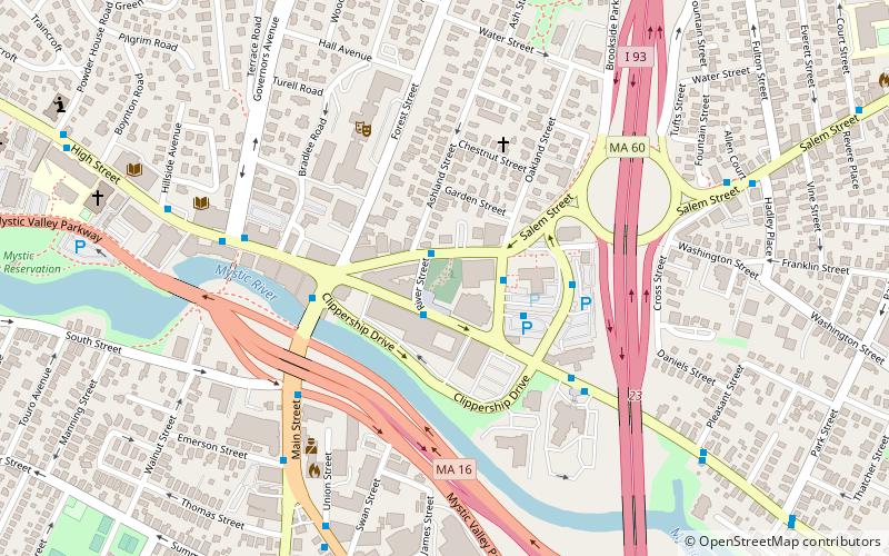
Salem Street Burying Ground is a cemetery located at the intersection of Salem Street and Riverside Avenue in Medford, Massachusetts. The Salem Street Burying Ground was used exclusively from the late 17th century to the late 19th century for the burial of the town's wealthy. The cemetery was listed on the National Register of Historic Places in 1981. ()
Coordinates: 42°25'5"N, 71°6'27"W
Address
Medford (Downtown Medford)Middlesex Fells Reservation
ContactAdd
Social media
Add
Day trips
Salem Street Burying Ground – popular in the area (distance from the attraction)
Nearby attractions include: Goddard Chapel, Unitarian Universalist Church of Medford, Medford Pipe Bridge, Packard Hall.
Frequently Asked Questions (FAQ)
Which popular attractions are close to Salem Street Burying Ground?
Nearby attractions include Medford, Boston (2 min walk), Medford Pipe Bridge, Middlesex Fells Reservation (6 min walk), Hillside Avenue Historic District, Middlesex Fells Reservation (8 min walk), Old Ship Street Historic District, Middlesex Fells Reservation (9 min walk).


