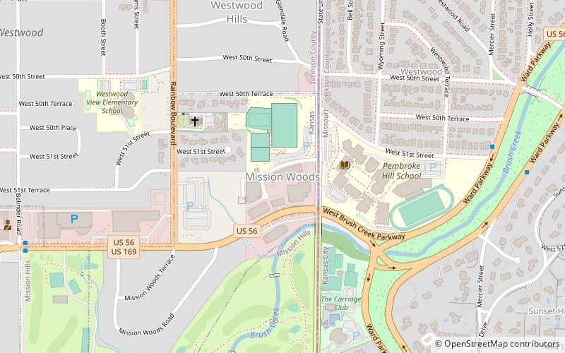
Mission Woods, Kansas City
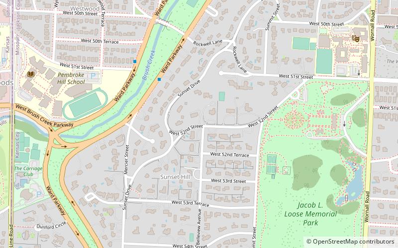
Map
Facts and practical information
Mission Woods is a city in Johnson County, Kansas, United States, and part of the Kansas City Metropolitan Area. As of the 2010 census, the city population was 178. ()
Getting there by public transportation
Public transportation stops near this location
- Bus
 Bus
Bus
- Calculate routeRoanoke at Belleview 21 min walk
- Calculate routeRoanoke at 46th 21 min walk
Day trips


Frequently Asked Questions (FAQ)
Which popular attractions are close to Mission Woods?
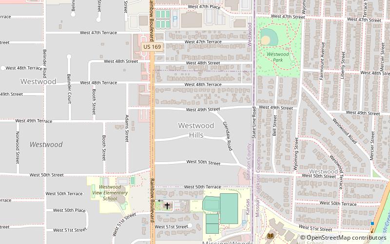
Nearby attractions include Westwood Hills, Kansas City (8 min walk), Bertrand Rockwell House, Kansas City (13 min walk), Bernard Corrigan House, Kansas City (14 min walk), Seth E. Ward Homestead, Kansas City (16 min walk).
How to get to Mission Woods by public transport?
The nearest stations to Mission Woods:
Bus
Bus
- Roanoke at Belleview • Lines: 35, 55 (21 min walk)
- Roanoke at 46th • Lines: 35 (21 min walk)