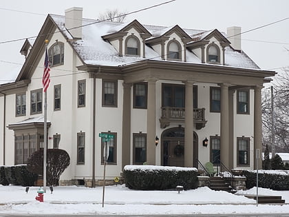
Westwood Hills, Kansas City
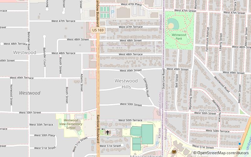
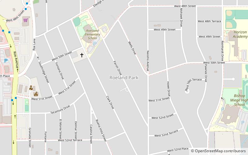
Map
Facts and practical information
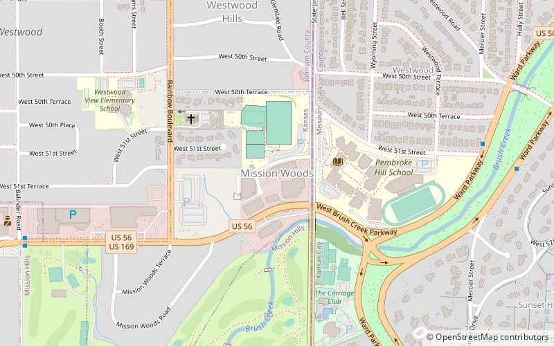
Westwood Hills is a city in Johnson County, Kansas, United States. As of the 2010 census, the city population was 359. It is the most densely populated city in the Kansas City Metropolitan Area at 6,240 people per square mile. ()
Day trips
Westwood Hills – popular in the area (distance from the attraction)
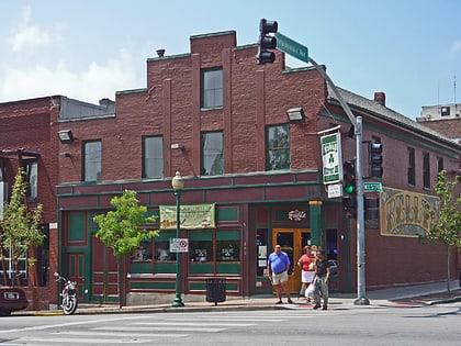
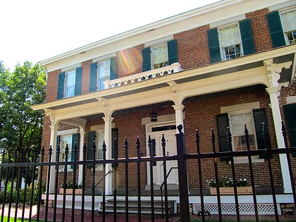
Nearby attractions include: Westport, Shawnee Methodist Mission, Harris-Kearney House, Loose Park.
Frequently Asked Questions (FAQ)
Which popular attractions are close to Westwood Hills?
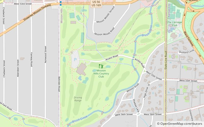
Nearby attractions include Mission Woods, Kansas City (8 min walk), West Plaza, Kansas City (14 min walk), Bertrand Rockwell House, Kansas City (18 min walk), Bernard Corrigan House, Kansas City (22 min walk).
How to get to Westwood Hills by public transport?
The nearest stations to Westwood Hills:
Bus
Bus
- Roanoke at 46th • Lines: 35 (18 min walk)
- Roanoke at Belleview • Lines: 35, 55 (18 min walk)
