Mitchel Square Park, New York City
Map

Map

Facts and practical information
Mitchel Square Park is a small urban park in the Washington Heights neighborhood of the New York City borough of Manhattan. It is a two part, triangle-shaped park formed by the intersection of Saint Nicholas Avenue, Broadway and 167th Street. ()
Elevation: 167 ft a.s.l.Coordinates: 40°50'25"N, 73°56'24"W
Address
Upper Manhattan (Washington Heights)New York City
ContactAdd
Social media
Add
Day trips
Mitchel Square Park – popular in the area (distance from the attraction)
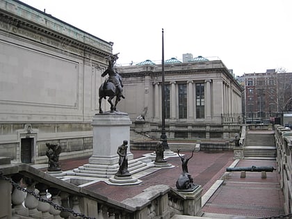
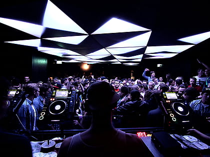
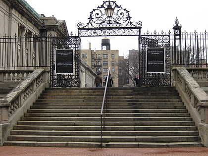
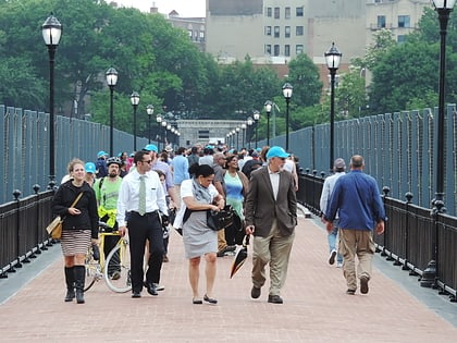
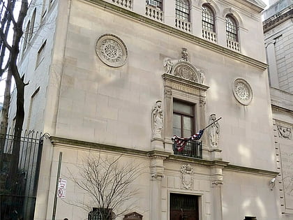
Nearby attractions include: Hispanic Society of America, Boxers NYC Washington Heights, American Academy of Arts and Letters, High Bridge.
Frequently Asked Questions (FAQ)
Which popular attractions are close to Mitchel Square Park?
Nearby attractions include Washington Heights-Inwood War Memorial, New York City (1 min walk), Malcolm X and Dr. Betty Shabazz Memorial and Educational Center, New York City (2 min walk), Audubon Ballroom, New York City (2 min walk), National Track and Field Hall of Fame, New York City (4 min walk).
How to get to Mitchel Square Park by public transport?
The nearest stations to Mitchel Square Park:
Metro
Bus
Train
Metro
- 168th Street • Lines: 1, A, C (2 min walk)
- 163rd Street–Amsterdam Avenue • Lines: A, C (7 min walk)
Bus
- Saint Nicholas Avenue & West 173rd Street • Lines: M3 (9 min walk)
- Amsterdam Avenue & West 173rd Street • Lines: M101 (10 min walk)
Train
- Yankees–East 153rd Street (29 min walk)
- Morris Heights (37 min walk)

 Subway
 Manhattan Buses