Stony Island Avenue, Chicago
Map
Facts and practical information
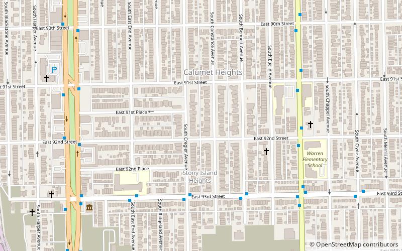
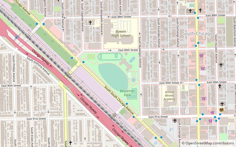
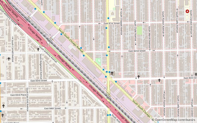
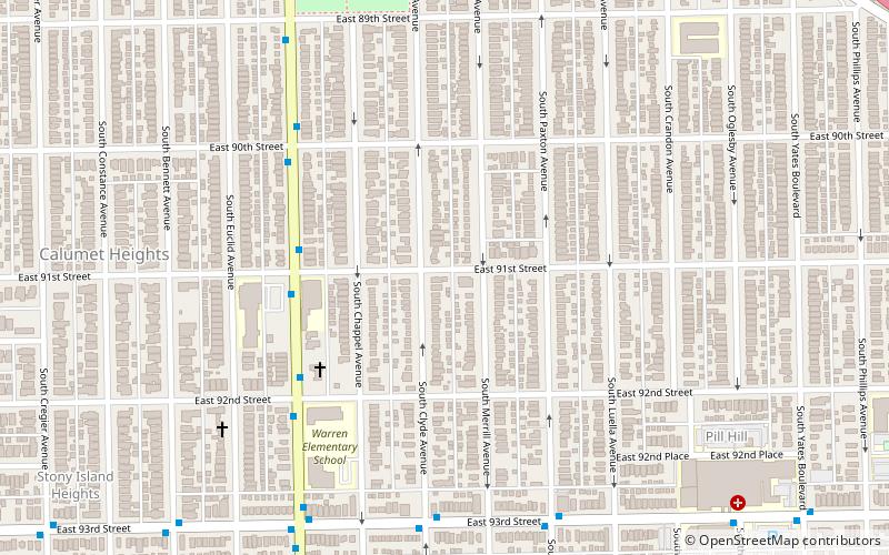
Stony Island Avenue is a major street on South Side of the city of Chicago, designated 1600 East in Chicago's street numbering system. It runs from 56th Street south to the Calumet River. Stony Island Avenue continues sporadically south of the Calumet in the southern suburbs, running alongside the Bishop Ford Freeway, sometimes as a frontage road. It terminates at County Line Road on the border of Will and Kankakee Counties. ()
Coordinates: 41°43'42"N, 87°34'47"W
Address
Far Southeast Side (Calumet Heights)Chicago
ContactAdd
Social media
Add
Getting there by public transportation
Public transportation stops near this location
- Bus
- Train
 Bus
Bus
- Calculate route93rd Street & Cregier 5 min walk
- Calculate routeJeffery & 92nd Street 6 min walk
- Calculate route91st Street 30 min walk
- Calculate route87th Street 32 min walk
- Calculate route83rd Street 38 min walk
Maps Rail "L"
Rail "L"Day trips
Stony Island Avenue – popular in the area (distance from the attraction)
Nearby attractions include: Bronzeville Children's Museum, Bessemer Park, Dinah Washington Park, Calumet Heights.

Frequently Asked Questions (FAQ)
Which popular attractions are close to Stony Island Avenue?
Nearby attractions include Bronzeville Children's Museum, Chicago (8 min walk), Calumet Heights, Chicago (10 min walk).
How to get to Stony Island Avenue by public transport?
The nearest stations to Stony Island Avenue:
Bus
Train
Bus
- 93rd Street & Cregier • Lines: 95, (N) N5 (5 min walk)
- Jeffery & 92nd Street • Lines: 15 (6 min walk)
Train
- 91st Street (30 min walk)
- 87th Street (32 min walk)