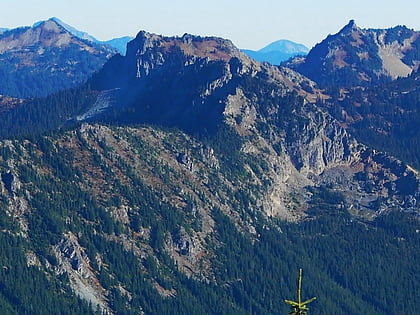
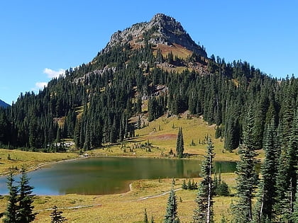
Tamanos Mountain, Mount Rainier National Park
Map
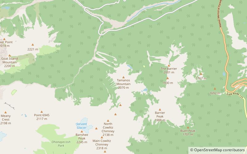
Map

Facts and practical information
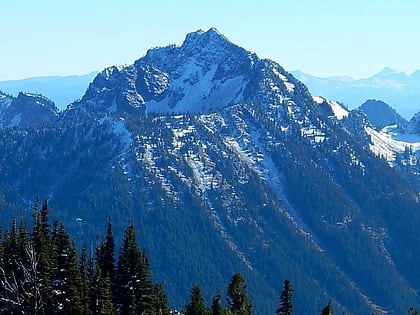
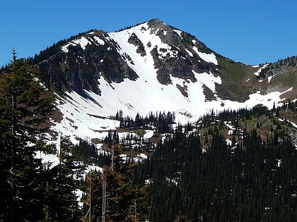
Tamanos Mountain is a 6,790-foot summit located in Mount Rainier National Park in Pierce County of Washington state. It is part of the Cascade Range. Tamanos Mountain is situated west of Governors Ridge and northeast of the Cowlitz Chimneys, all of which can be seen from the Sunrise Historic District. The name tamanos derives from Chinook Jargon and has the meaning of guardian spirit. The normal climbing access is from the Owyhigh Lakes Trail, and from the lakes scramble up the south slope to the summit. ()
Coordinates: 46°52'19"N, 121°35'51"W
Address
Mount Rainier National Park
ContactAdd
Social media
Add
Day trips
Tamanos Mountain – popular in the area (distance from the attraction)
Nearby attractions include: Wonderland Trail, Tipsoo Lake, Dege Peak, Deadwood Peak.
