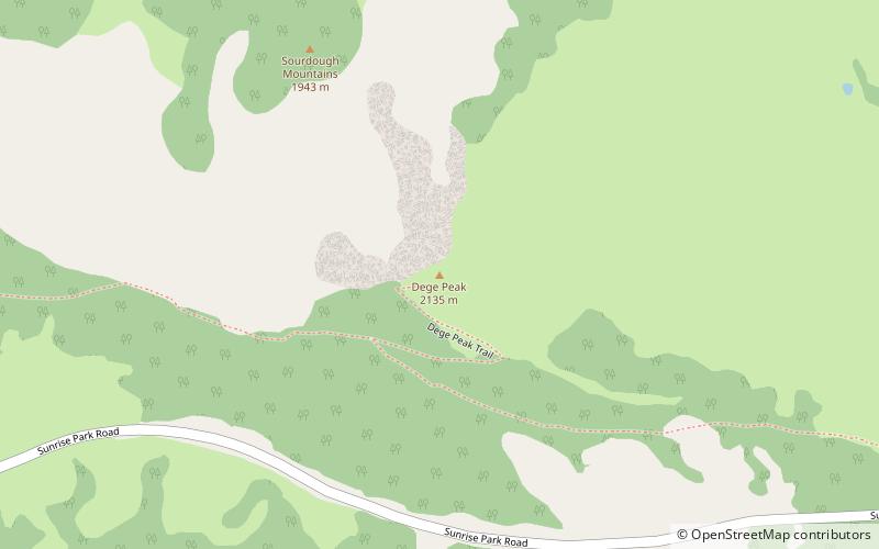
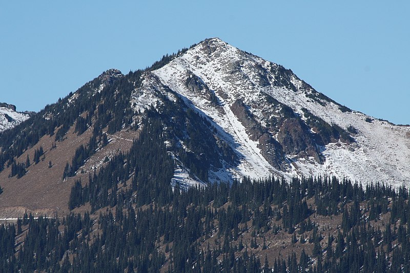
Dege Peak, Mount Rainier National Park

Gallery (2)
Map
Map
Gallery
Facts and practical information
Dege Peak is a 7,006-foot summit located in Pierce County of Washington state. It is part of the Sourdough Mountains in Mount Rainier National Park. It was named in 1932 for James Henry Dege, a prominent Tacoma businessman and Captain of the First Regiment National Guard of Washington. His mother was a descendant of President Zachary Taylor. ()
Coordinates: 46°55'7"N, 121°36'38"W
Address
Mount Rainier National Park
ContactAdd
Social media
Add
Day trips


