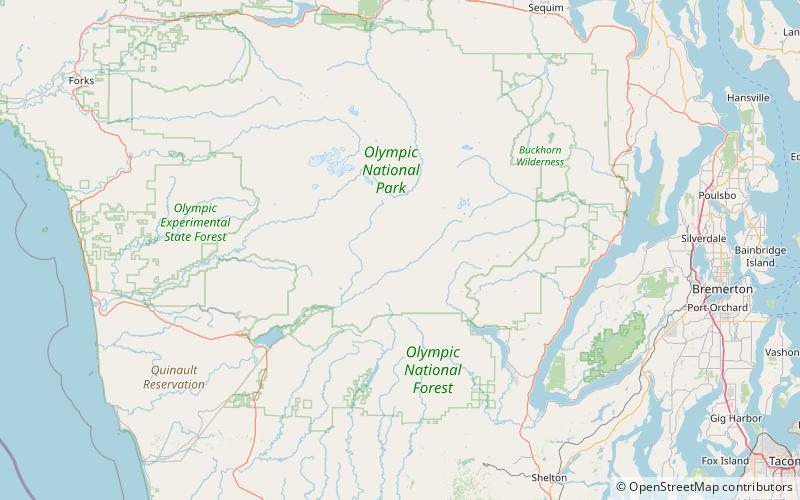
Muncaster Mountain, Olympic National Park

Map
Facts and practical information
Muncaster Mountain is a 5,910-foot mountain summit located within Olympic National Park in Jefferson County of Washington state. It is situated 4.4 mi south-southeast of Mount Christie, and 14.6 mi southeast of Mount Olympus. Precipitation runoff from the mountain drains into Rustler Creek, which is a tributary of the Quinault River. Although modest in elevation, relief is significant as the summit rises 4,000 feet above the Rustler Creek valley in one mile. ()
Coordinates: 47°38'16"N, 123°30'44"W
Address
Olympic National Park
ContactAdd
Social media
Add
Day trips
Muncaster Mountain – popular in the area (distance from the attraction)
Nearby attractions include: Mount Christie.
