Christ the King's Church, New York City
Map
Facts and practical information
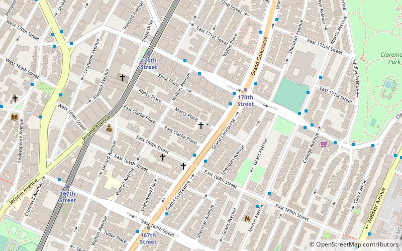
The Church of Christ the King is a Roman Catholic parish church under the authority of the Roman Catholic Archdiocese of New York, located at Grand Concourse at Marcy Place, Bronx, New York City. ()
Coordinates: 40°50'16"N, 73°54'56"W
Address
141 Marcy PlaceWest Bronx (Concourse)New York City
ContactAdd
Social media
Add
Getting there by public transportation
Public transportation stops near this location
- Metro
- Bus
- Train
 Metro
Metro
- Calculate route170th Street 4 min walk
- Calculate route167th Street 8 min walk
- Calculate routeMount Eden Avenue 12 min walk
- Calculate route174th–175th Streets 16 min walk
- Calculate routeMelrose 22 min walk
- Calculate routeTremont 27 min walk
- Calculate routeYankees–East 153rd Street 29 min walk
- Calculate routeMorris Heights 30 min walk
- Calculate routeEast 161st Street & River Avenue 23 min walk
- Calculate routeEast 163rd Street & 3rd Avenue 26 min walk
- Calculate routeSedgewick Avenue & Harlem River Park Bridge 27 min walk
- Calculate routeAmsterdam Avenue & West 177th Street 27 min walk
Maps SubwayMaps
 Manhattan Buses
SubwayMapsManhattan BusesDay trips


Frequently Asked Questions (FAQ)
Which popular attractions are close to Christ the King's Church?
Nearby attractions include Bronx Museum of the Arts, New York City (13 min walk), Highbridge, New York City (16 min walk), Morrisania, New York City (19 min walk), Joyce Kilmer Park, New York City (19 min walk).
How to get to Christ the King's Church by public transport?
The nearest stations to Christ the King's Church:
Metro
Train
Bus
Metro
- 170th Street • Lines: 4, B, D (4 min walk)
- 167th Street • Lines: 4, B, D (8 min walk)
Train
- Melrose (22 min walk)
- Tremont (27 min walk)
Bus
- East 161st Street & River Avenue • Lines: Bx13, Bx6 (23 min walk)
- East 163rd Street & 3rd Avenue • Lines: Bx13, Bx6 (26 min walk)