Macombs Dam Park, New York City
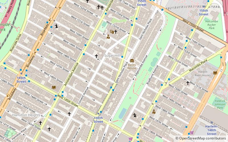
Map
Gallery
Facts and practical information
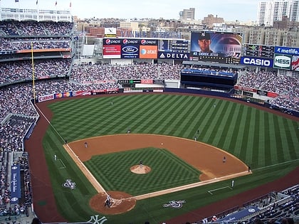
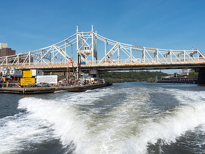
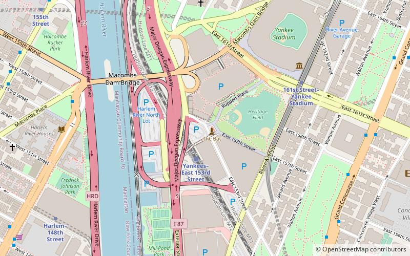
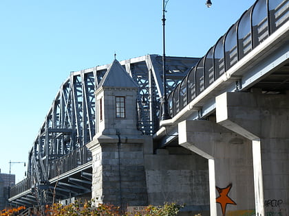
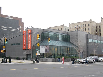
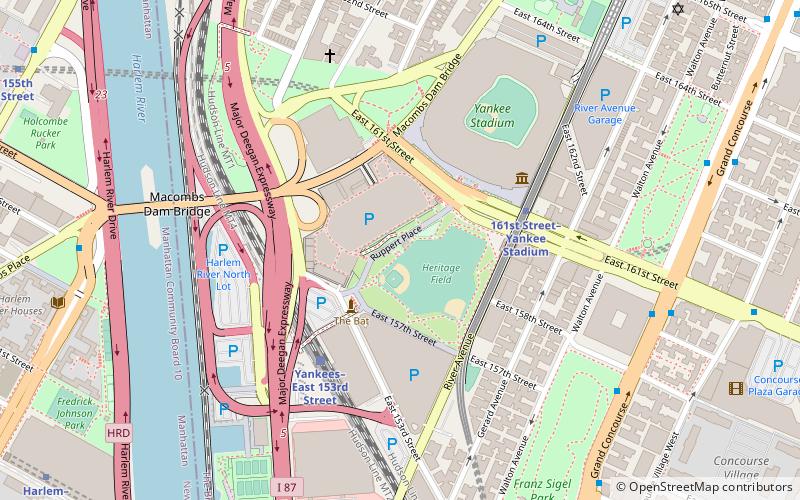
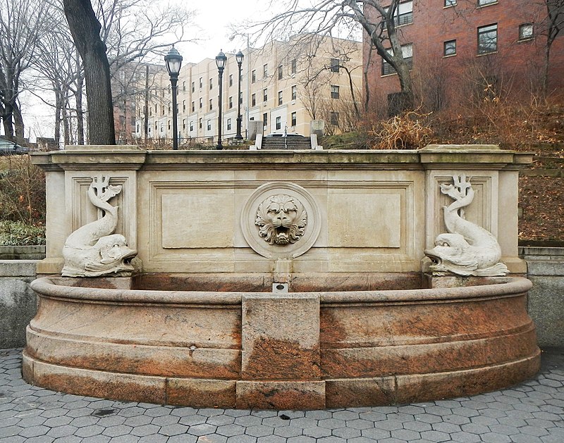
Macombs Dam Park is a park in the Concourse section of the Bronx, New York City. The park lay in the shadow of the old Yankee Stadium when it stood, between Jerome Avenue and the Major Deegan Expressway, near the Harlem River and the Macombs Dam Bridge. The park is administered and maintained by the New York City Department of Parks and Recreation. The majority of Macombs Dam Park was not open to the public from August 2006, when construction began on the new Yankee Stadium, to April 2012. ()
Elevation: 16 ft a.s.l.Coordinates: 40°49'39"N, 73°55'43"W
Day trips
Macombs Dam Park – popular in the area (distance from the attraction)
Nearby attractions include: Yankee Stadium, Nick's, Bronx Terminal Market, New York Yankees Museum.
Frequently Asked Questions (FAQ)
Which popular attractions are close to Macombs Dam Park?
Nearby attractions include River Avenue Skate Park, New York City (3 min walk), New York Yankees Museum, New York City (5 min walk), Macombs Dam Bridge, New York City (5 min walk), Monument Park, New York City (6 min walk).
How to get to Macombs Dam Park by public transport?
The nearest stations to Macombs Dam Park:
Bus
Train
Metro
Bus
- East 161st Street & River Avenue • Lines: Bx13, Bx6 (3 min walk)
- Adam Clayton Powell Jr Boulevard & West 148th Street • Lines: M2 (15 min walk)
Train
- Yankees–East 153rd Street (4 min walk)
- Melrose (18 min walk)
Metro
- 161st Street–Yankee Stadium • Lines: 4, B, D (5 min walk)
- Harlem–148th Street • Lines: 3 (13 min walk)
 Subway
 Manhattan Buses