Downtown Paterson, Paterson
Map

Gallery
Facts and practical information
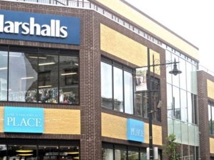
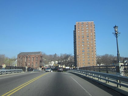
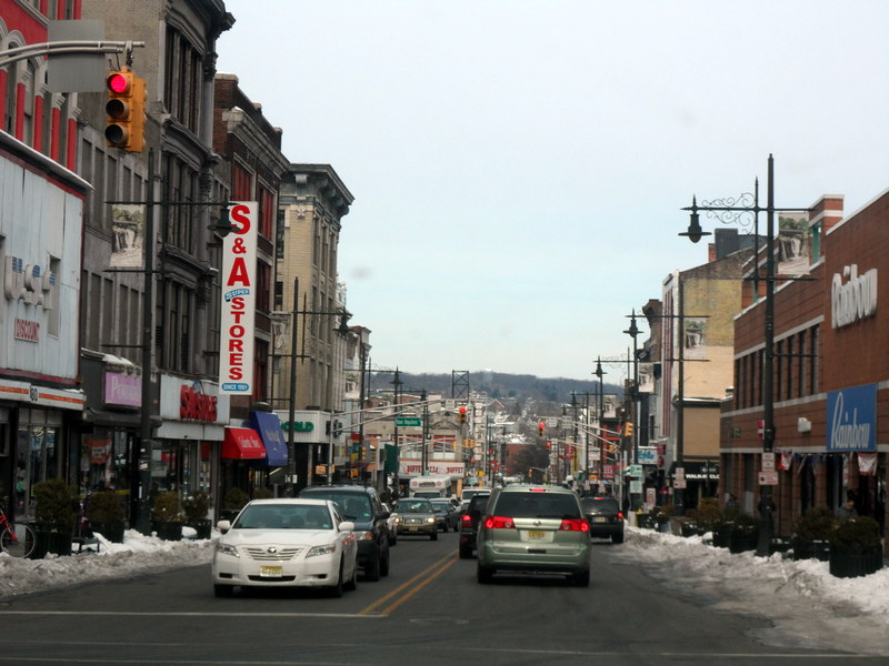
Downtown Paterson is the main commercial district of Paterson, Passaic County, New Jersey, United States. The area is the oldest part of the city, along the banks of the Passaic River and its Great Falls. It is roughly bounded by Interstate 80, Garret Mountain Reservation, Route 19, Oliver Street, and Spruce Street on the south; the Passaic River, West Broadway, Cliff Street, North 3rd Street, Haledon Avenue, and the borough of Prospect Park on the west; and the Passaic River also to the north. ()
Coordinates: 40°55'2"N, 74°10'21"W
Address
Downtown PatersonPaterson
ContactAdd
Social media
Add
Day trips
Downtown Paterson – popular in the area (distance from the attraction)
Nearby attractions include: Great Falls, Center City Mall, Lambert Castle, Paterson City Hall.
Frequently Asked Questions (FAQ)
Which popular attractions are close to Downtown Paterson?
Nearby attractions include Paterson City Hall, Paterson (1 min walk), Passaic County Community College, Paterson (5 min walk), Little Italy, Paterson (5 min walk), St. Michael's Roman Catholic Church, Paterson (6 min walk).
How to get to Downtown Paterson by public transport?
The nearest stations to Downtown Paterson:
Bus
Train
Bus
- Broadway Bus Terminal (4 min walk)
Train
- Paterson (8 min walk)


