Brookline Town Green Historic District, Newton
Map
Map

Facts and practical information
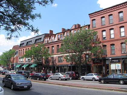
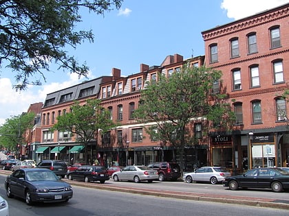
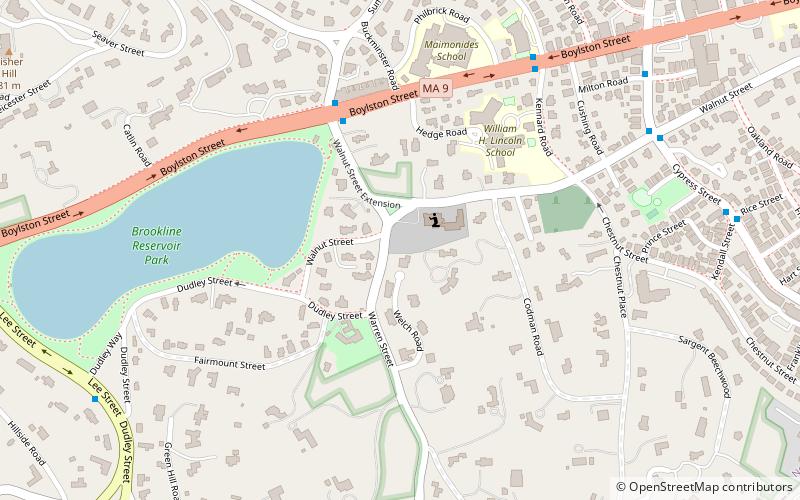
The Brookline Town Green Historic District encompasses the historic colonial heart of the town of Brookline, Massachusetts. Centered on a stretch of Walnut Street between Warren and Chestnut Streets, this area is where the town's first colonial meeting house and cemetery were laid out, and was its center of civic life until the early 19th century. The district was listed on the National Register of Historic Places in 1980. ()
Architectural style: Renaissance revivalCoordinates: 42°19'36"N, 71°7'53"W
Address
Brookline (Brookline Village)Newton
ContactAdd
Social media
Add
Day trips
Brookline Town Green Historic District – popular in the area (distance from the attraction)
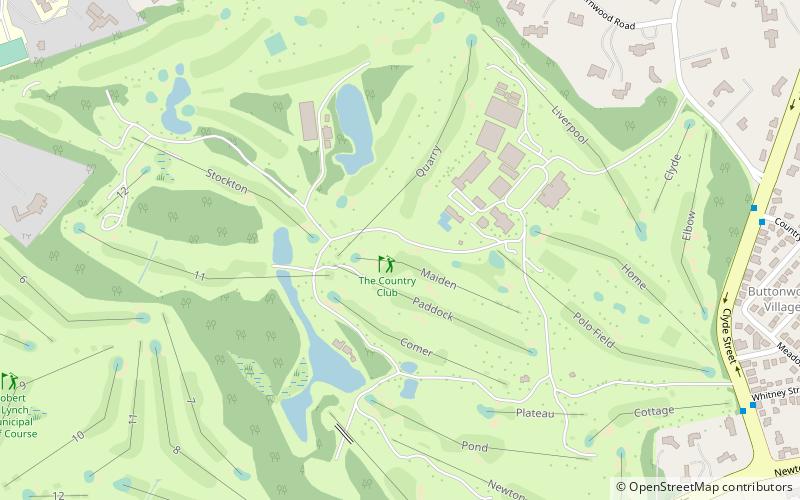
Nearby attractions include: The Country Club, Coolidge Corner Theatre, Olmsted Park, Brookline Village.
Frequently Asked Questions (FAQ)
Which popular attractions are close to Brookline Town Green Historic District?
Nearby attractions include Frederick Law Olmsted National Historic Site, Boston (3 min walk), Reservoir Park, Boston (4 min walk), Green Hill Historic District, Newton (10 min walk), Sargent's Pond, Boston (11 min walk).
How to get to Brookline Town Green Historic District by public transport?
The nearest stations to Brookline Town Green Historic District:
Light rail
Bus
Light rail
- Brookline Hills • Lines: D (11 min walk)
- Beaconsfield • Lines: D (20 min walk)
Bus
- Reservoir • Lines: 51, 86 (28 min walk)

