Florida Avenue, Washington D.C.
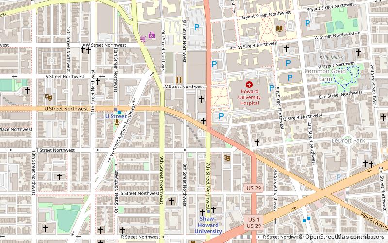
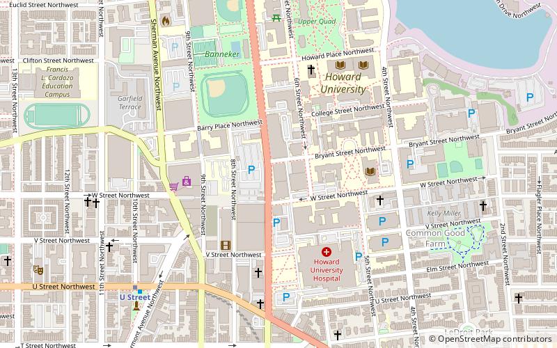
Map
Facts and practical information
Florida Avenue is a major street in Washington, D.C. It was originally named Boundary Street, because it formed the northern boundary of the Federal City under the 1791 L'Enfant Plan. With the growth of the city beyond its original borders, Boundary Street was renamed Florida Avenue in 1890. ()
Address
Northwest Washington (U-Street)Washington D.C.
ContactAdd
Social media
Add
Getting there by public transportation
Public transportation stops near this location
- Metro
- Bus
- Tram
 Metro
Metro
- Calculate routeU Street 5 min walk
- Calculate routeShaw–Howard University 6 min walk
- Calculate routeUnion Station 38 min walk
- Calculate routeH Street & 3rd Street Northeast 41 min walk
- Calculate routeMTA Bus Stop 39 min walk
Day trips


Frequently Asked Questions (FAQ)
Which popular attractions are close to Florida Avenue?
Nearby attractions include Southern Aid Society–Dunbar Theater Building, Washington D.C. (2 min walk), Howard Theatre, Washington D.C. (3 min walk), Moorland–Spingarn Research Center, Washington D.C. (4 min walk), Florida Avenue Baptist Church, Washington D.C. (5 min walk).
How to get to Florida Avenue by public transport?
The nearest stations to Florida Avenue:
Metro
Tram
Bus
Metro
- U Street • Lines: Gr, Yl (5 min walk)
- Shaw–Howard University • Lines: Gr, Yl (6 min walk)
Tram
- Union Station • Lines: H Street/Benning Road Streetcar (38 min walk)
- H Street & 3rd Street Northeast • Lines: H Street/Benning Road Streetcar (41 min walk)
Bus
- MTA Bus Stop • Lines: 305, 315 (39 min walk)