Horseshoe Mesa, Grand Canyon National Park
Map

Gallery

Facts and practical information
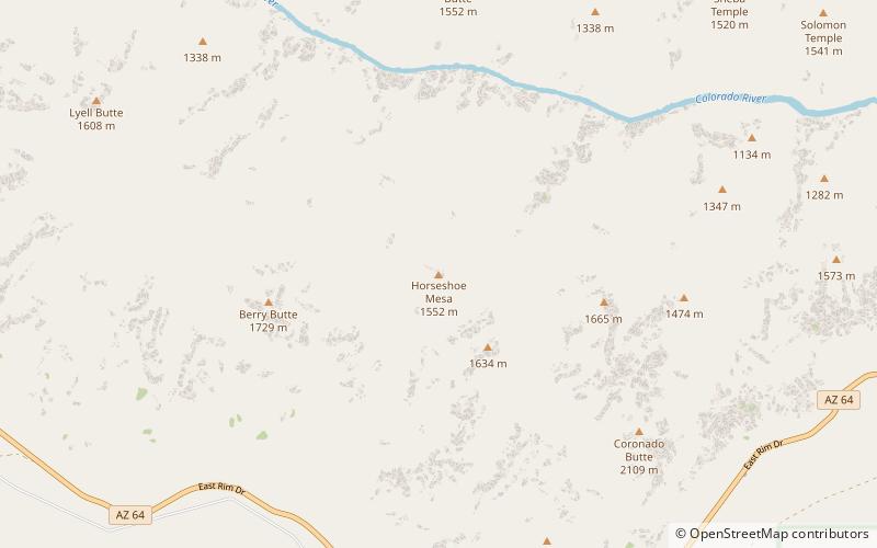
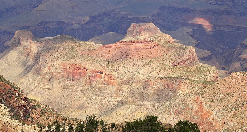
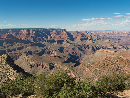
Horseshoe Mesa is a 5,246-foot-elevation mesa-summit located in the eastern Grand Canyon, in Coconino County of northern Arizona, US. It is located 1.5 mi south of the Colorado River and Granite Gorge; also 4 mi due-south of the Cape Royal overlook, and ~2.0 mi northwest from Grandview Point, of the East South Rim, Grand Canyon. The Grandview Trail descends to Horseshoe Mesa, then drops down to meet the, the Tonto Trail. ()
Coordinates: 36°1'27"N, 111°58'32"W
Address
Grand Canyon National Park
ContactAdd
Social media
Add
Day trips
Horseshoe Mesa – popular in the area (distance from the attraction)
Nearby attractions include: Grandview Trail, Newberry Butte, Sheba Temple, Angels Gate.


