Hillandale, Washington D.C.
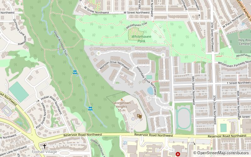
Map

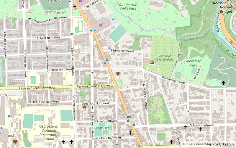
Map

Facts and practical information
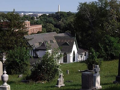
The Hillandale estate comprises a pair of historic structures located in the Burleith neighborhood in Washington, D.C. They have been listed on the National Register of Historic Places since 1995. ()
Architectural style: Renaissance revivalCoordinates: 38°54'56"N, 77°4'44"W
Address
Northwest Washington (Georgetown)Washington D.C.
ContactAdd
Social media
Add
Day trips
Hillandale – popular in the area (distance from the attraction)
Nearby attractions include: Jesuit Community Cemetery, Statue of John Carroll, Kreeger Museum, Georgetown Neighborhood Library.
Frequently Asked Questions (FAQ)
Which popular attractions are close to Hillandale?
Nearby attractions include Georgetown University Medical Center, Washington D.C. (2 min walk), Burleith, Washington D.C. (6 min walk), Colony Hill, Washington D.C. (9 min walk), Glover Park, Washington D.C. (10 min walk).
How to get to Hillandale by public transport?
The nearest stations to Hillandale:
Bus
Bus
- Lee Hwy at N Oak St • Lines: 55 (30 min walk)
- N Lorcom Ln at N Edgewood St • Lines: 62 (38 min walk)


