Potomac Palisades Site, Washington D.C.
Map

Map

Facts and practical information
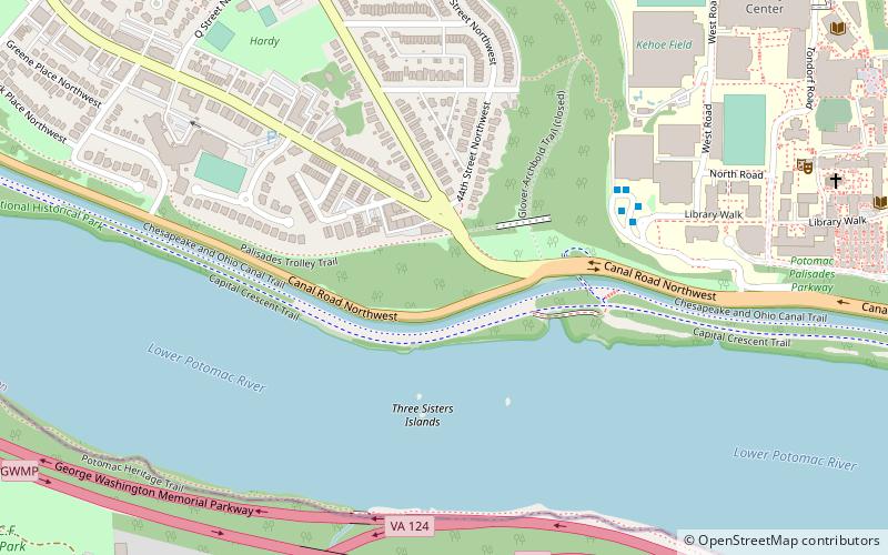
The Potomac Palisades Site is an archaeological site in Washington, D.C., United States. Measuring approximately 1 acre in area, the site lies near the intersection of MacArthur Boulevard and Foxhall Road, along the Potomac River. It is one of many archaeological sites located in the present-day Potomac Palisades; a 1984 field survey revealed evidence that supported earlier ideas of the archaeological richness of the northern bank of the Potomac in this area. ()
Coordinates: 38°54'21"N, 77°4'52"W
Address
Northwest Washington (Foxhall-Palisades)Washington D.C.
ContactAdd
Social media
Add
Day trips
Potomac Palisades Site – popular in the area (distance from the attraction)
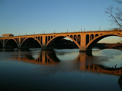
Nearby attractions include: Georgetown Park, Jesuit Community Cemetery, Key Bridge, Statue of John Carroll.
Frequently Asked Questions (FAQ)
Which popular attractions are close to Potomac Palisades Site?
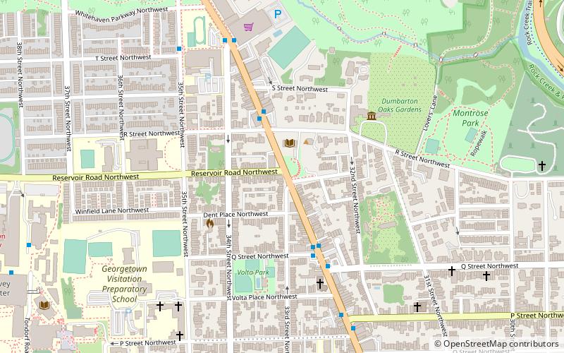
Nearby attractions include Washington, Washington D.C. (4 min walk), Georgetown University Astronomical Observatory, Washington D.C. (7 min walk), Jesuit Community Cemetery, Washington D.C. (12 min walk), Healy Hall, Washington D.C. (12 min walk).
How to get to Potomac Palisades Site by public transport?
The nearest stations to Potomac Palisades Site:
Bus
Metro
Bus
- 21st St N at N Scott St • Lines: 61A, 61B (14 min walk)
- Lee Hwy at N Oak St • Lines: 55 (15 min walk)
Metro
- Rosslyn • Lines: Bl, Or, Sv (23 min walk)
- Court House • Lines: Or, Sv (28 min walk)


