Bouldin Creek, Austin

Map
Facts and practical information
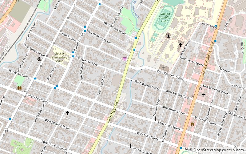
Bouldin Creek is a neighborhood in Austin, Texas, originally created at the turn of the 20th century. It features several historic homes remaining from that era and countless more from the period of rapid growth in the 1920s and 1930s that followed. Bouldin Creek is also diverse, with a variety of cultures, backgrounds, and architectural styles blending together. ()
Coordinates: 30°14'58"N, 97°45'19"W
Address
South Austin (Bouldin Creek)Austin
ContactAdd
Social media
Add
Day trips
Bouldin Creek – popular in the area (distance from the attraction)
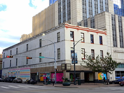
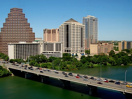
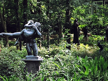
Nearby attractions include: Barton Springs Pool, Mexic-Arte Museum, Ann W. Richards Congress Avenue Bridge, Umlauf Sculpture Garden and Museum.
Frequently Asked Questions (FAQ)
Which popular attractions are close to Bouldin Creek?
Nearby attractions include Yard Dog Art, Austin (8 min walk), South Congress, Austin (9 min walk), South Austin Popular Culture Center, Austin (16 min walk), Zilker, Austin (18 min walk).
How to get to Bouldin Creek by public transport?
The nearest stations to Bouldin Creek:
Train
Train
- Zilker Zephyr (36 min walk)
- Downtown (38 min walk)


