Nathaniel West Buildings, Portland
Map

Map

Facts and practical information
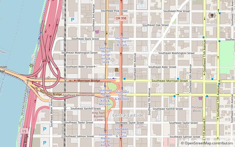
The Nathaniel West Buildings in southeast Portland, Oregon, United States, are listed on the National Register of Historic Places. The two structures are part of a group of three, including West's Block, built by West in the late 19th century. ()
Architectural style: Renaissance revivalCoordinates: 45°31'3"N, 122°39'40"W
Address
Hawthorne District (Buckman)Portland
ContactAdd
Social media
Add
Day trips
Nathaniel West Buildings – popular in the area (distance from the attraction)
Nearby attractions include: Holocene, Dante's, Silverado, Portland Saturday Market.
Frequently Asked Questions (FAQ)
Which popular attractions are close to Nathaniel West Buildings?
Nearby attractions include West's Block, Portland (1 min walk), Weatherly Building, Portland (2 min walk), East Portland Grand Avenue Historic District, Portland (2 min walk), New Logus Block, Portland (3 min walk).
How to get to Nathaniel West Buildings by public transport?
The nearest stations to Nathaniel West Buildings:
Bus
Tram
Light rail
Train
Bus
- Southeast Morrison & Grand • Lines: 15 (1 min walk)
- Morrison Bridge/Belmont & Grand • Lines: 15 (2 min walk)
Tram
- Southeast Grand & Belmont • Lines: B (2 min walk)
- Southeast Martin Luther King & Morrison • Lines: A (2 min walk)
Light rail
- Oak Street/Southwest 1st Avenue • Lines: Blue, Red (15 min walk)
- Skidmore Fountain • Lines: Blue, Red (16 min walk)
Train
- Portland Union Station (29 min walk)


