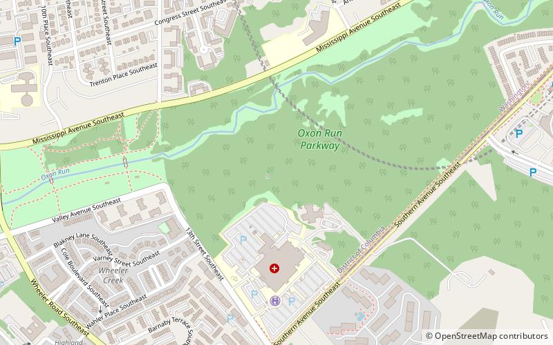
Oxon Run Parkway, Washington D.C.
Map
Facts and practical information
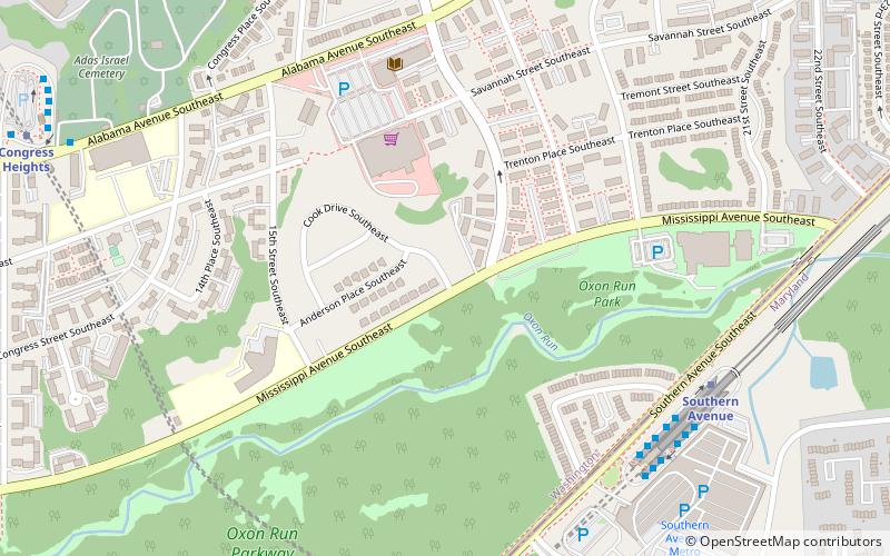
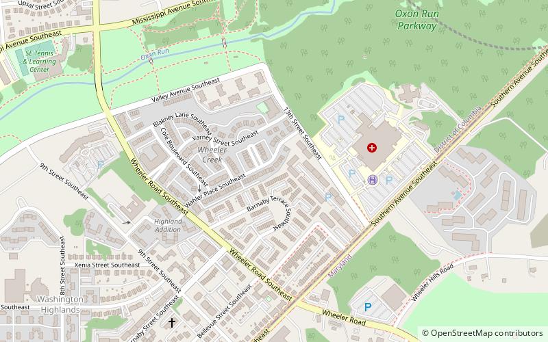
The Oxon Run Parkway is a corridor of federal park land in the Washington Highlands neighborhood of Washington, D.C. The Parkway once extended across the District's southern corner in a crescent from Hillcrest Heights to Oxon Hill but most of it became Oxon Run Park in 1971, and now only the portion north of 13th Street still uses the Parkway name. It was originally intended to provide recreation space, but was later enlarged to provide flood relief, space for a major piece of sewer infrastructure and the possibility of a clean drinking water source. ()
Coordinates: 38°50'18"N, 76°59'6"W
Address
Southeast Washington (Congress Heights)Washington D.C.
ContactAdd
Social media
Add
Getting there by public transportation
Public transportation stops near this location
- Metro
- Bus
 Metro
Metro
- Calculate routeQ 13 min walk
- Calculate routeA 13 min walk
- Calculate routeP 13 min walk
- Calculate routeB 13 min walk
- Calculate routeCongress Heights 13 min walk
- Calculate routeSouthern Avenue 15 min walk
Day trips


Frequently Asked Questions (FAQ)
Which popular attractions are close to Oxon Run Parkway?
Nearby attractions include Naylor Gardens, Washington D.C. (7 min walk), Shipley Terrace, Washington D.C. (11 min walk), Parklands-Turner Neighborhood Library, Suitland (15 min walk), Washington Highlands, Washington D.C. (18 min walk).
How to get to Oxon Run Parkway by public transport?
The nearest stations to Oxon Run Parkway:
Bus
Metro
Bus
- Q • Lines: D13, D14 (13 min walk)
- A • Lines: 30S, 32 (13 min walk)
Metro
- Congress Heights • Lines: Gr (13 min walk)
- Southern Avenue • Lines: Gr (15 min walk)