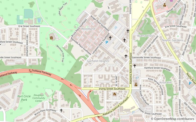
Garfield Heights, Suitland
Map
Facts and practical information
Garfield Heights is a residential neighborhood in Southeast Washington, D.C., bordering Prince George's County, Maryland. Garfield Heights contains both apartment units and single-family detached houses. ()
Coordinates: 38°51'18"N, 76°58'22"W
Address
Southeast Washington (Randle Heights)Suitland
ContactAdd
Social media
Add
Getting there by public transportation
Public transportation stops near this location
- Metro
- Bus
 Metro
Metro
- Calculate routeNaylor Road 24 min walk
- Calculate routeSouthern Avenue 25 min walk
- Calculate routeNaylor Rd Station & Bus Bay D 24 min walk
- Calculate routeNaylor Rd Station & Bus Bay E 24 min walk
- Calculate routeF 24 min walk
- Calculate routeNaylor Rd Station & Bus Bay B 24 min walk
Day trips


Frequently Asked Questions (FAQ)
Which popular attractions are close to Garfield Heights?
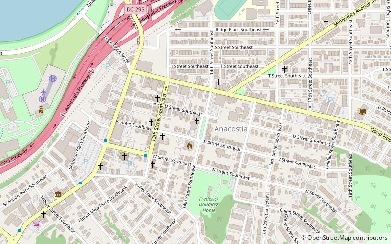
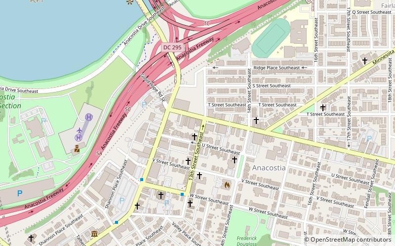
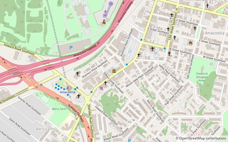
Nearby attractions include Anacostia Community Museum, Washington D.C. (7 min walk), Skyland, Suitland (10 min walk), Park Naylor, Suitland (17 min walk), Bet Mishpachah Cemetery, Suitland (19 min walk).
How to get to Garfield Heights by public transport?
The nearest stations to Garfield Heights:
Metro
Bus
Metro
- Naylor Road • Lines: Gr (24 min walk)
- Southern Avenue • Lines: Gr (25 min walk)
Bus
- Naylor Rd Station & Bus Bay D • Lines: H11, H12, H13 (24 min walk)
- Naylor Rd Station & Bus Bay E • Lines: C12, C14 (24 min walk)