Patchin Place, New York City

Facts and practical information
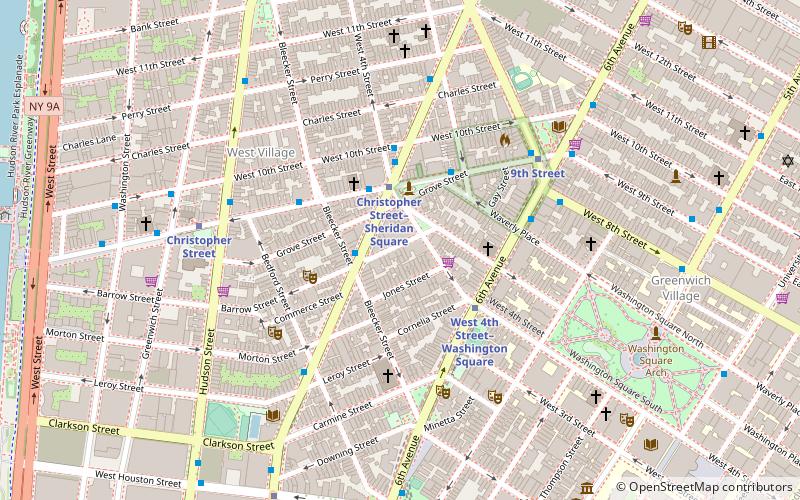
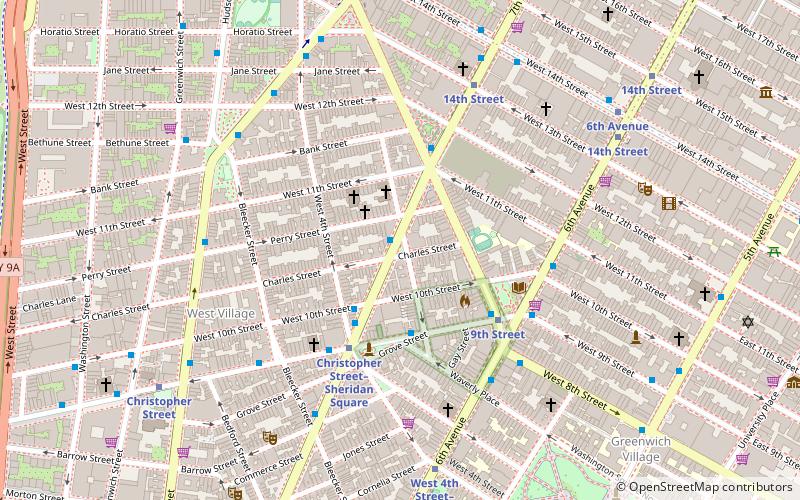
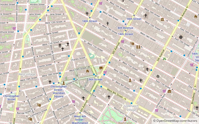
Patchin Place is a gated cul-de-sac located off of 10th Street between Greenwich Avenue and the Avenue of the Americas in the Greenwich Village neighborhood of Manhattan, New York City. Its ten 3-story brick row houses, said to have been originally built as housing for the Basque staff of the nearby Brevoort House hotel, have been home to several famous writers, including Theodore Dreiser, E. E. Cummings, John Cowper Powys and Djuna Barnes, making it a stop on Greenwich Village walking tours. Today it is a popular location for psychotherapists' offices. ()
Downtown Manhattan (West Village)New York City
Patchin Place – popular in the area (distance from the attraction)
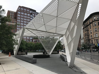
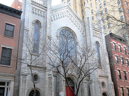
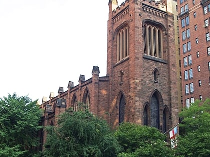
Nearby attractions include: Marie's Crisis, New York City AIDS Memorial, Washington Court, Church of the Ascension.
Frequently Asked Questions (FAQ)
Which popular attractions are close to Patchin Place?
How to get to Patchin Place by public transport?
Metro
- 9th Street • Lines: Hob–33, Jsq–33, JSQ–33 via HOB (3 min walk)
- 14th Street • Lines: Jsq–33, JSQ–33 via HOB (5 min walk)
Bus
- Bethune Street & Greenwich Street • Lines: M11 (10 min walk)
- East 9th Street & Broadway • Lines: M8 (12 min walk)
Train
- New York Penn Station (29 min walk)
- Pennsylvania Station (30 min walk)

 Subway
 Manhattan Buses
