Republic Gardens, Washington D.C.
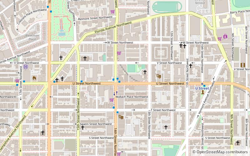
Map
Facts and practical information
Republic Gardens is an historic nightclub located in Washington, D.C. It first opened in the 1920s and operated as a popular nighttime music attraction for several decades. During its early years, notable musicians such as Cab Calloway and Ella Fitzgerald performed at the nightclub. After the burn out of the 60's riots, Republic Gardens closed and remained vacant until 1996, when club promoter Marc Barnes purchased and reopened the nightclub. Republic Gardens was originally renovated in 1992 by George Saah and Bob Speidel, then sold to the Whitney brothers, who then sold to Marc Barnes. ()
Coordinates: 38°55'2"N, 77°1'53"W
Address
Northwest Washington (U-Street)Washington D.C.
ContactAdd
Social media
Add
Getting there by public transportation
Public transportation stops near this location
- Metro
- Bus
 Metro
Metro
- Calculate routeU Street 8 min walk
- Calculate routeShaw–Howard University 15 min walk
- Calculate routeMTA Bus Stop 32 min walk
- Calculate routeBus Loading 39 min walk
Day trips
Republic Gardens – popular in the area (distance from the attraction)
Nearby attractions include: Black Cat, U Street Music Hall, Bohemian Caverns, House of the Temple.


Frequently Asked Questions (FAQ)
Which popular attractions are close to Republic Gardens?
Nearby attractions include Lincoln Theatre, Washington D.C. (4 min walk), True Reformer Building, Washington D.C. (5 min walk), Mary Ann Shadd Cary House, Washington D.C. (5 min walk), Whitelaw Hotel, Washington D.C. (5 min walk).
How to get to Republic Gardens by public transport?
The nearest stations to Republic Gardens:
Metro
Bus
Metro
- U Street • Lines: Gr, Yl (8 min walk)
- Shaw–Howard University • Lines: Gr, Yl (15 min walk)
Bus
- MTA Bus Stop • Lines: 305, 315 (32 min walk)
- Bus Loading (39 min walk)