16th Street NW, Washington D.C.
Facts and practical information
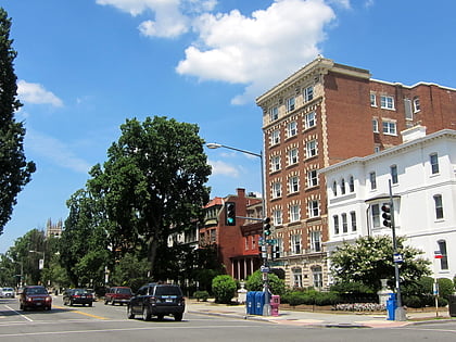
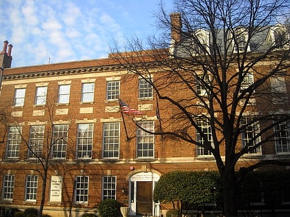
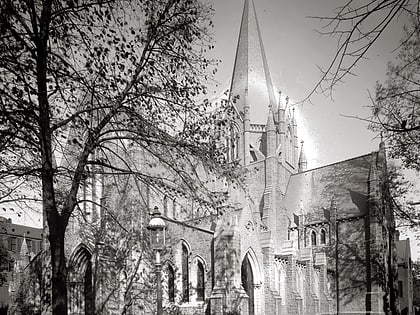
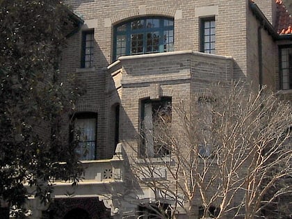
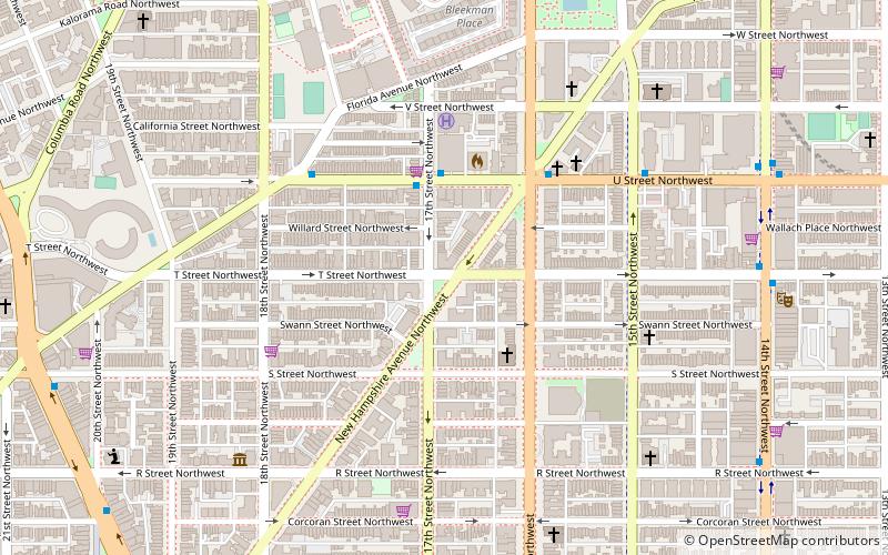
16th Street Northwest is a prominent north–south thoroughfare in the northwest quadrant of Washington, D.C. Part of Pierre L'Enfant's design for the city, 16th Street begins just north of the White House across Lafayette Park at H Street and continues due north in a straight line passing K Street, Scott Circle, Meridian Hill Park, Rock Creek Park, and the Walter Reed Army Medical Center before crossing Eastern Avenue into Silver Spring, Maryland, where it ends at Georgia Avenue. From K Street to the District line, 16th Street is part of the National Highway System. The Maryland portion of the street is designated Maryland State Highway 390. The entire street is 6.4 miles long. ()
Northwest Washington (Dupont Circle)Washington D.C.
16th Street NW – popular in the area (distance from the attraction)
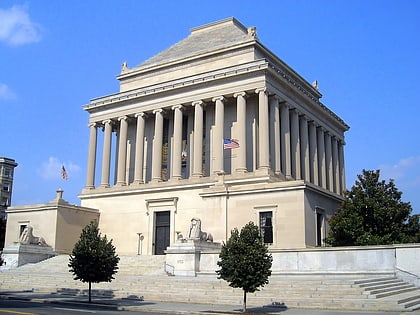
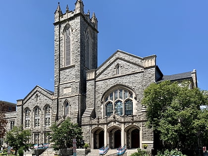
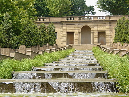
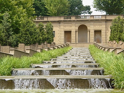
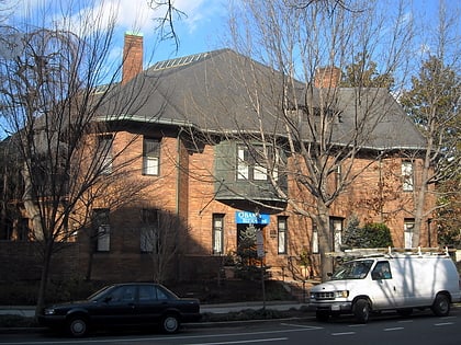
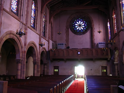
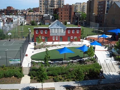
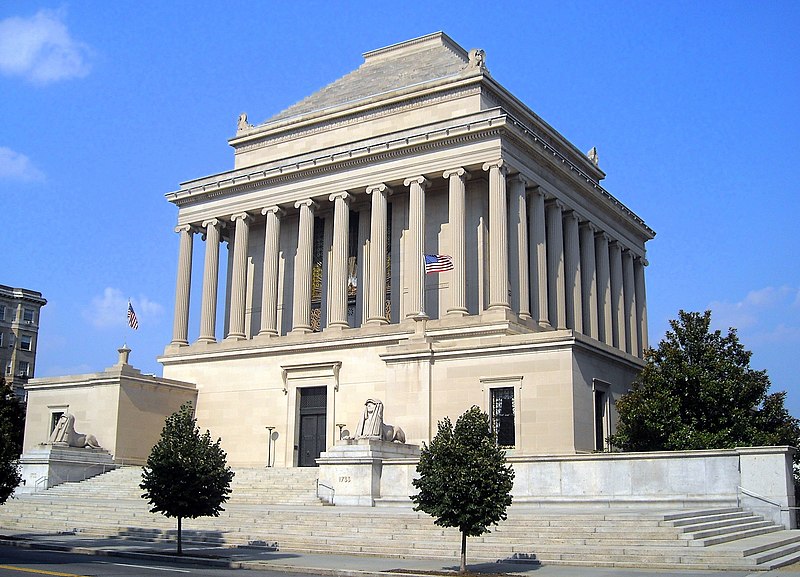
Nearby attractions include: Black Cat, House of the Temple, Foundry United Methodist Church, Cascading Waterfall.
Frequently Asked Questions (FAQ)
Which popular attractions are close to 16th Street NW?
How to get to 16th Street NW by public transport?
Metro
- Dupont Circle • Lines: Rd (13 min walk)
- U Street • Lines: Gr, Yl (17 min walk)
Bus
- MTA Bus Stop • Lines: 305, 315 (25 min walk)
- Bus Loading (35 min walk)
