Roosevelt Building, Los Angeles
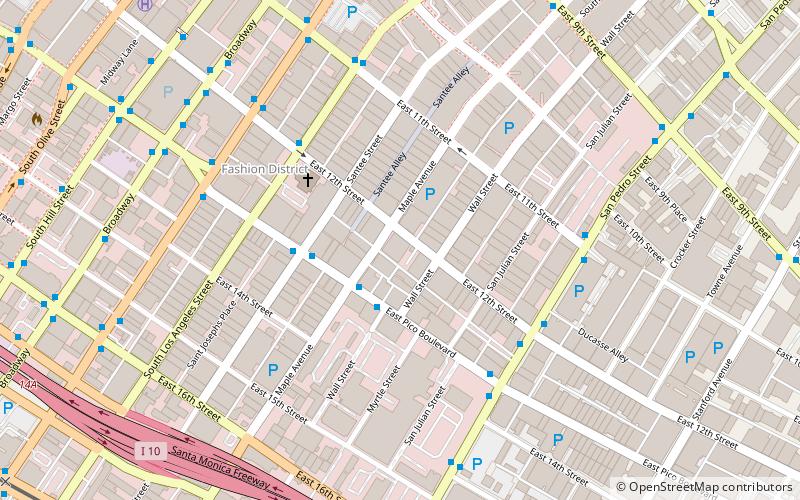
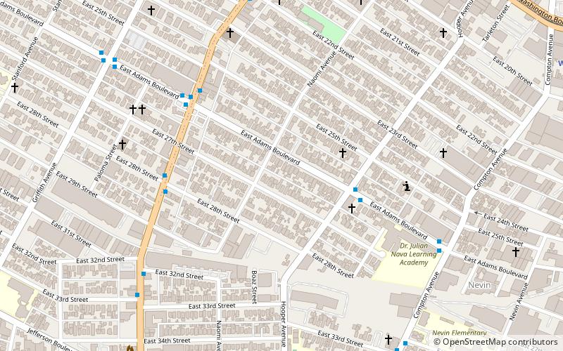
Map
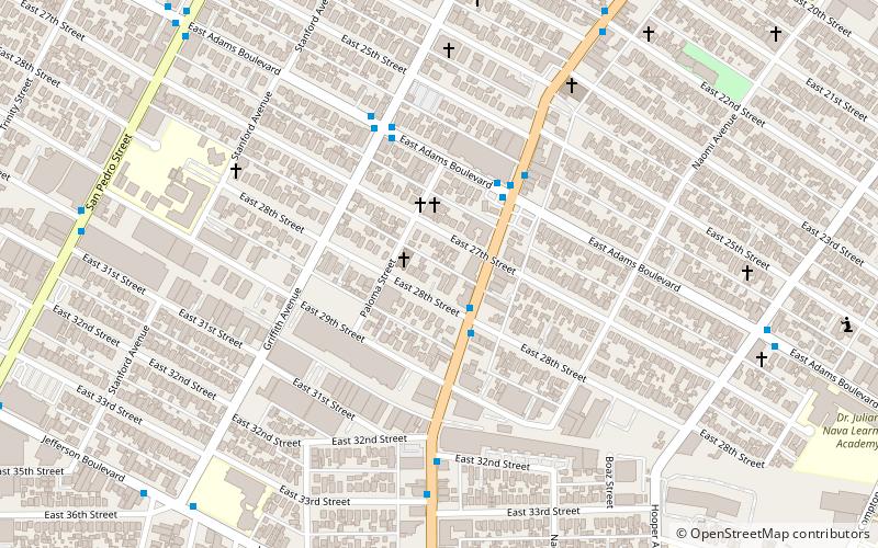
Map

Facts and practical information
The Roosevelt Building is a high-rise residential building located along 7th Street in Downtown Los Angeles. It was completed in 1926 and was designed by Claude Beelman and Alexander Curlett in an Italian Renaissance Revival style. It was later converted to lofts. ()
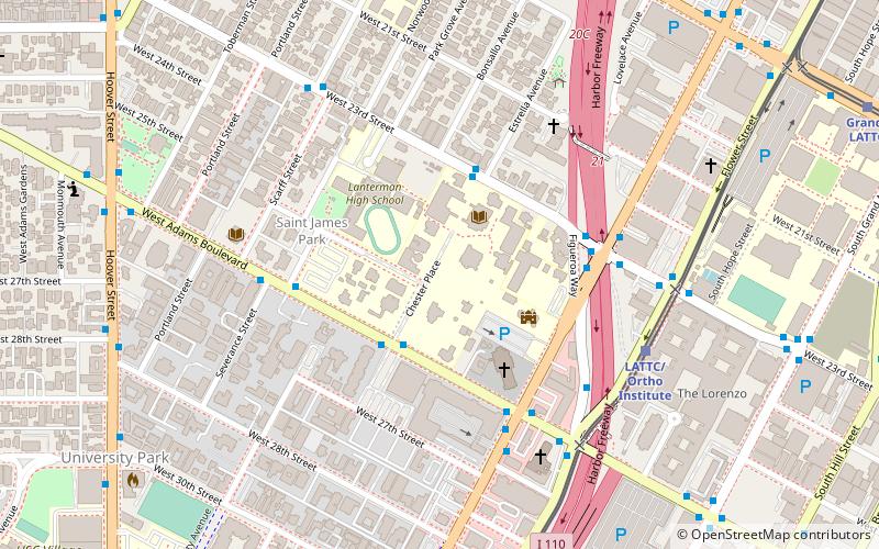
Coordinates: 34°1'3"N, 118°15'23"W
Address
South Los Angeles (South Central La)Los Angeles
ContactAdd
Social media
Add
Day trips
Roosevelt Building – popular in the area (distance from the attraction)
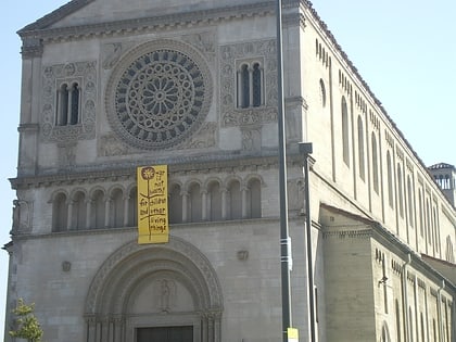
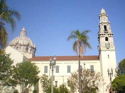
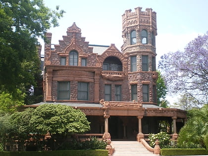
Nearby attractions include: St. John's Cathedral, St. Vincent de Paul Church, Stimson House, Fire Station No. 30.
Frequently Asked Questions (FAQ)
Which popular attractions are close to Roosevelt Building?
Nearby attractions include Helen Hunt Jackson Branch, Los Angeles (7 min walk), Second Baptist Church, Los Angeles (7 min walk), Mixografia, Los Angeles (13 min walk), Ralph J. Bunche House, Los Angeles (14 min walk).
How to get to Roosevelt Building by public transport?
The nearest stations to Roosevelt Building:
Light rail
Bus
Light rail
- San Pedro Street • Lines: A (17 min walk)
- Washington • Lines: A (20 min walk)
Bus
- Main & 16th • Lines: 10 (30 min walk)
- Terminal 28 (31 min walk)

 Metro & Regional Rail