Doheny Drive, Los Angeles
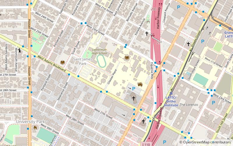
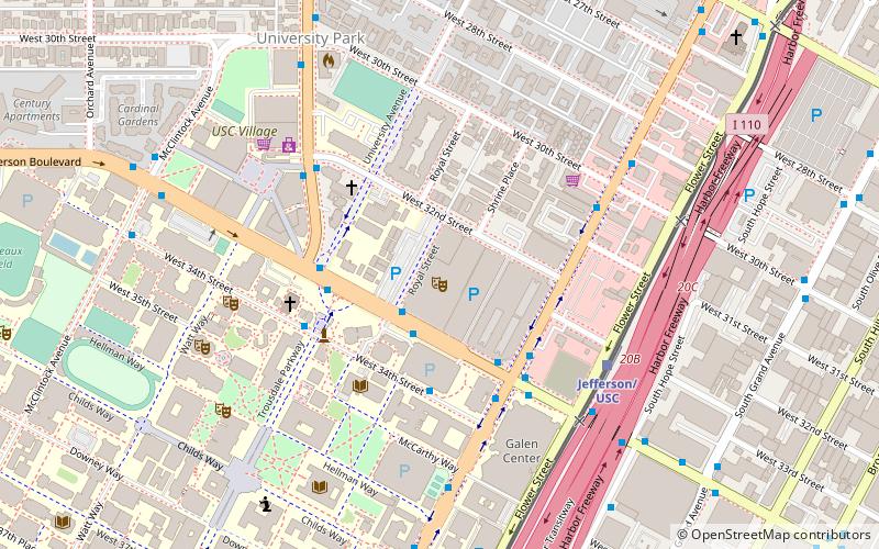
Map
Facts and practical information
Doheny Drive is a north–south thoroughfare mostly through Beverly Hills and West Hollywood, in Los Angeles County, California. ()
Coordinates: 34°1'49"N, 118°16'39"W
Address
South Los Angeles (University Park)Los Angeles
Contact
+1 213-477-2764
Social media
Add
Day trips
Doheny Drive – popular in the area (distance from the attraction)
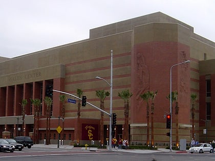
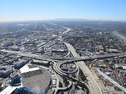
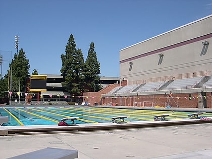
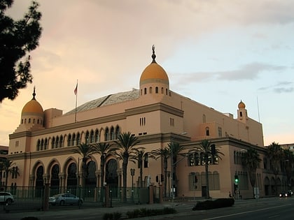
Nearby attractions include: Galen Center, Dosan Ahn Chang Ho Memorial Interchange, Uytengsu Aquatics Center, Shrine Auditorium.
Frequently Asked Questions (FAQ)
Which popular attractions are close to Doheny Drive?
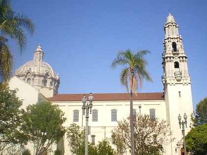
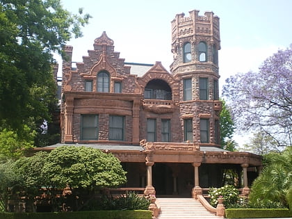
Nearby attractions include Stimson House, Los Angeles (3 min walk), St. Vincent de Paul Church, Los Angeles (4 min walk), Machell-Seaman House, Los Angeles (4 min walk), John B. Kane Residence, Los Angeles (5 min walk).
How to get to Doheny Drive by public transport?
The nearest stations to Doheny Drive:
Bus
Light rail
Bus
- Figueroa Street & 23rd Street • Lines: J (6 min walk)
- HOV Roadway & Adams Boulevard • Lines: J (6 min walk)
Light rail
- LATTC/Ortho Institute • Lines: E (7 min walk)
- Grand/LATTC • Lines: A (14 min walk)
 Metro & Regional Rail