Sebree Island

Map
Facts and practical information
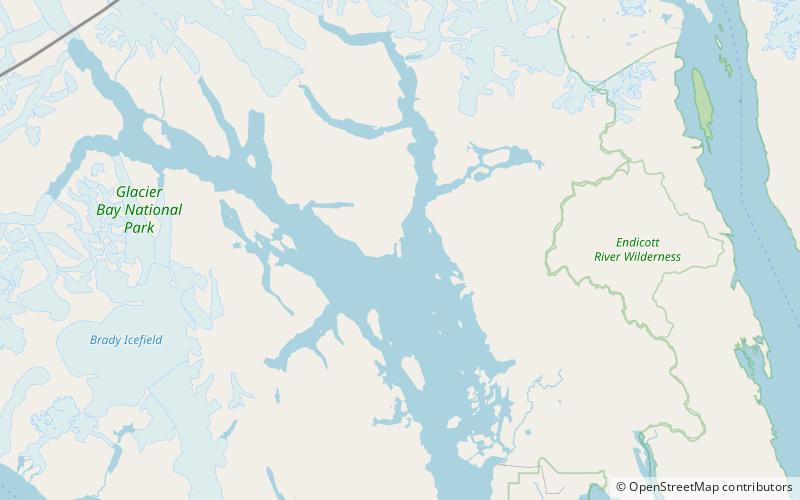
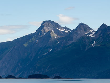
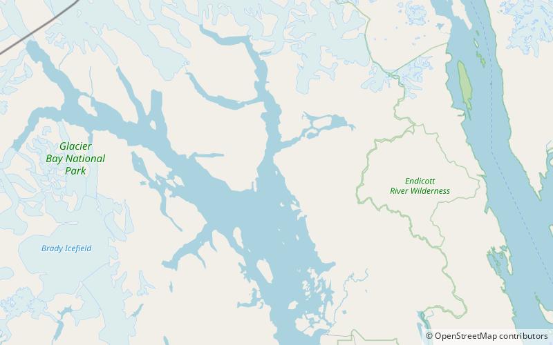
Sebree Island is an island in Muir Inlet, Glacier Bay in Alaska. It is named for United States Navy officer and Governor of American Samoa Rear Admiral Uriel Sebree. Island also known as Headland Island as it was called by Cushing in 1891. Sebree Peak is named for the same officer. ()
Coordinates: 58°45'42"N, 136°9'26"W
Location
Alaska
ContactAdd
Social media
Add
Day trips
Sebree Island – popular in the area (distance from the attraction)
Nearby attractions include: Mount Wright, Garforth Island.

