South Marion Street Parkway, Denver
Map

Map

Facts and practical information
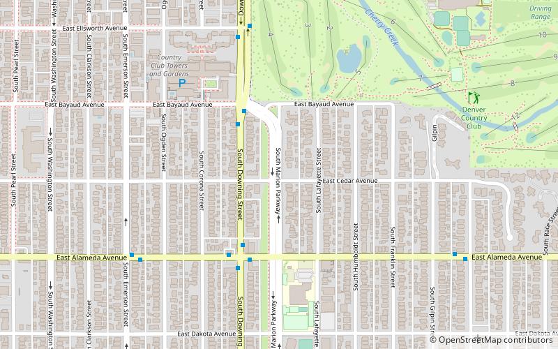
South Marion Street Parkway is a historic parkway in Denver, Colorado. It was listed on the National Register of Historic Places in 1986 as part of a set of listings commemorating Denver's Park and Parkway System. ()
Elevation: 5315 ft a.s.l.Coordinates: 39°42'47"N, 104°58'20"W
Address
Washington ParkDenver
ContactAdd
Social media
Add
Day trips
South Marion Street Parkway – popular in the area (distance from the attraction)
Nearby attractions include: Cherry Creek Shopping Center, International Church of Cannabis, Alamo Placita Park, Denver Community Church.
Frequently Asked Questions (FAQ)
Which popular attractions are close to South Marion Street Parkway?
Nearby attractions include Alamo Placita Park, Denver (13 min walk), Alamo Placita, Denver (15 min walk), International Church of Cannabis, Denver (16 min walk), Speer, Denver (18 min walk).
How to get to South Marion Street Parkway by public transport?
The nearest stations to South Marion Street Parkway:
Bus
Light rail
Bus
- East Alameda Avenue & South Downing Street • Lines: 3 (4 min walk)
Light rail
- Alameda • Lines: C, D, E, F, H (30 min walk)
- I-25 & Broadway • Lines: C, D, E, F, H (32 min walk)


