St. Cyprian Roman Catholic Church, Philadelphia
Map

Map

Facts and practical information
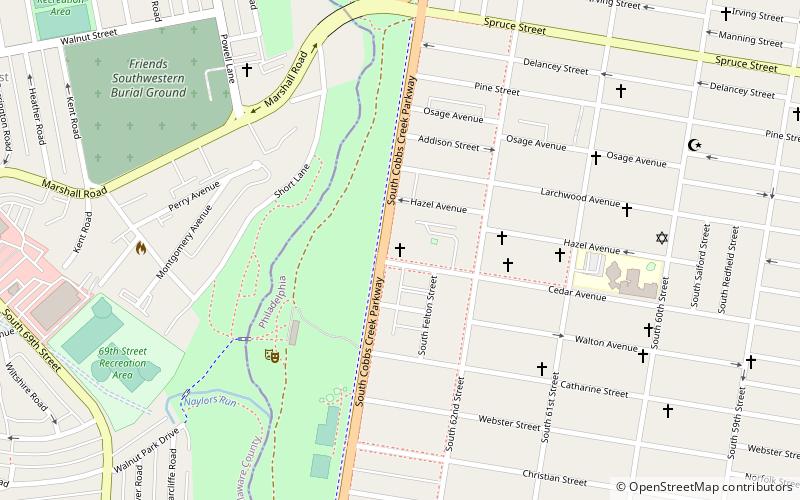
St. Cyprian Catholic Church is located on the southwest corner of 63rd St. and Hazel Ave. at 525 Cobbs Creek Parkway in Cobbs Creek, Philadelphia, Pennsylvania. ()
Coordinates: 39°57'12"N, 75°14'54"W
Address
West Philadelphia (Cobbs Creek)Philadelphia
ContactAdd
Social media
Add
Day trips
St. Cyprian Roman Catholic Church – popular in the area (distance from the attraction)
Nearby attractions include: Yeadon, City of Conquerors Church, Millbourne, Malcolm X Park.
Frequently Asked Questions (FAQ)
Which popular attractions are close to St. Cyprian Roman Catholic Church?
Nearby attractions include Cobbs Creek, Philadelphia (14 min walk), City of Conquerors Church, Philadelphia (16 min walk), Millbourne, Philadelphia (18 min walk), Angora, Philadelphia (22 min walk).
How to get to St. Cyprian Roman Catholic Church by public transport?
The nearest stations to St. Cyprian Roman Catholic Church:
Metro
Tram
Train
Bus
Light rail
Metro
- 63rd Street • Lines: Mfl (17 min walk)
- 60th Street • Lines: Mfl (19 min walk)
Tram
- Baltimore Avenue & 59th Street • Lines: 34 (17 min walk)
Train
- Angora (21 min walk)
- Fernwood-Yeadon (27 min walk)
Bus
- 69th Street Transportation Center South Terminal (21 min walk)
- 69th Street Transportation Center North Terminal (22 min walk)
Light rail
- 69th Street Transportation Center • Lines: Nhsl (22 min walk)

 SEPTA Regional Rail


