Cobbs Creek, Philadelphia
Map

Gallery

Facts and practical information
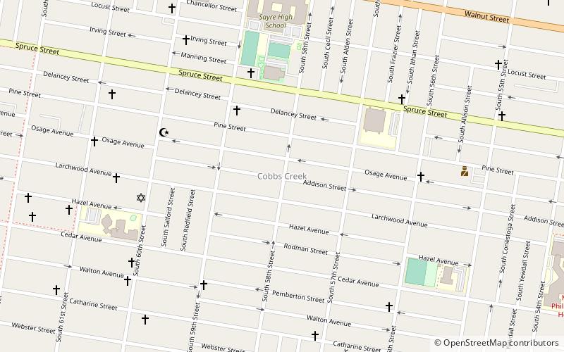
Cobbs Creek is a neighborhood located in the West Philadelphia section of Philadelphia, Pennsylvania, United States, named for the creek which forms part of Philadelphia's western border. Cobbs Creek is generally bounded by Market Street to the north, Baltimore Avenue to the south, 52nd Street to the east, and the border of Upper Darby along Cobbs Creek to the West. ()
Coordinates: 39°57'15"N, 75°14'18"W
Address
West Philadelphia (Cobbs Creek)Philadelphia
ContactAdd
Social media
Add
Day trips
Cobbs Creek – popular in the area (distance from the attraction)
Nearby attractions include: St. Cyprian Roman Catholic Church, Yeadon, St. Francis de Sales Roman Catholic Church, Calvary United Methodist Church.
Frequently Asked Questions (FAQ)
Which popular attractions are close to Cobbs Creek?
Nearby attractions include St. Cyprian Roman Catholic Church, Philadelphia (14 min walk), Malcolm X Park, Philadelphia (18 min walk), Angora, Philadelphia (18 min walk), City of Conquerors Church, Philadelphia (18 min walk).
How to get to Cobbs Creek by public transport?
The nearest stations to Cobbs Creek:
Tram
Metro
Train
Bus
Light rail
Tram
- Baltimore Avenue & 56th Street • Lines: 34 (14 min walk)
Metro
- 60th Street • Lines: Mfl (15 min walk)
- 56th Street • Lines: Mfl (15 min walk)
Train
- Angora (17 min walk)
- 49th Street (35 min walk)
Bus
- 69th Street Transportation Center South Terminal (31 min walk)
- 69th Street Transportation Center North Terminal (32 min walk)
Light rail
- 69th Street Transportation Center • Lines: Nhsl (32 min walk)

 SEPTA Regional Rail


