Stearns Tavern, Worcester


Facts and practical information
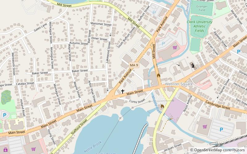
Stearns Tavern is a historic tavern in Worcester, Massachusetts. The building is one of the best extant examples of vernacular Federal style architecture in the city. Its construction is dated to c. 1812 based on 19th-century historical sources, and it was suggested that its frame may be even older, based on analysis conducted during a 1974 move of the building. The building is a two-story timber-frame house, with a two-story ell on the northeast. The front door is a distinctive six-panel door, flanked by sidelights and topped by a fanlight. Originally located at 1030 Main Street, it was moved in 1974 to 651 Park Avenue and converted for use as a bank. Restoration done at the time exposed Federal style details that had been covered over in the intervening years. It was located at 651 Park Avenue in Worcester, Massachusetts from 1974 to 2016. ()
West Worcester (Webster Square)Worcester
Stearns Tavern – popular in the area (distance from the attraction)
Nearby attractions include: Clark University, Pilgrim Congregational Church, St. Mark's Episcopal Church, Hope Cemetery.


