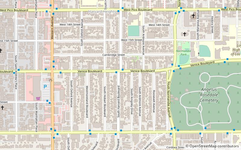
Harvard Heights, Los Angeles
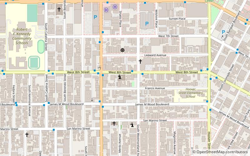
Map
Facts and practical information
Harvard Heights is a densely populated, mixed-income neighborhood of 20,000+ people in Central Los Angeles, California. Within it lies a municipally designated historic overlay zone designed to protect its architecturally significant single-family residences, including the only remaining Greene and Greene house in Los Angeles. ()
Coordinates: 34°2'36"N, 118°18'15"W
Address
Central Los Angeles (Arlington Heights)Los Angeles
ContactAdd
Social media
Add
Getting there by public transportation
Public transportation stops near this location
- Bus
 Bus
Bus
- Calculate route18th & Western 8 min walk
- Calculate routeWashington & Gramercy 15 min walk
- Calculate routeWestern & 24th 17 min walk
Maps Metro & Regional Rail
Metro & Regional RailDay trips
Harvard Heights – popular in the area (distance from the attraction)
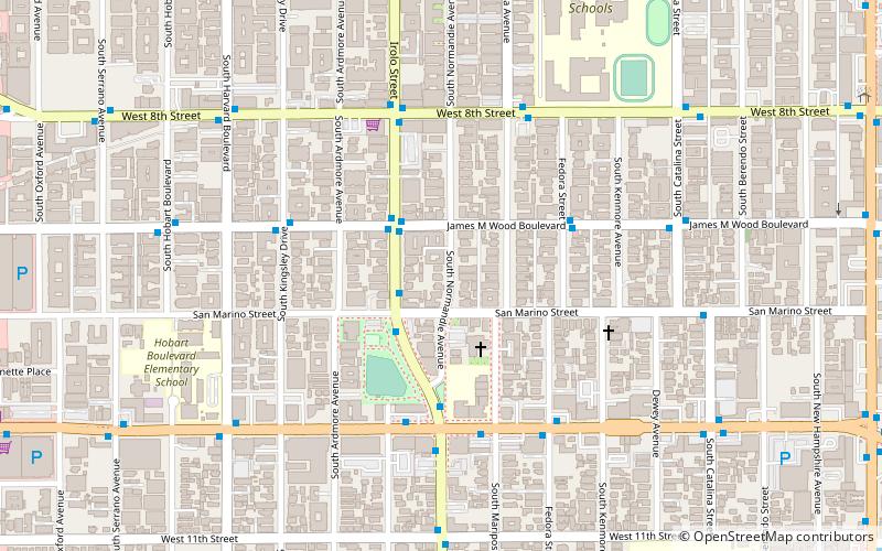
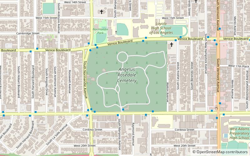
Nearby attractions include: First African Methodist Episcopal Church of Los Angeles, Zen Center of Los Angeles, Saint Sophia Cathedral, St. Thomas the Apostle Catholic Church.


Frequently Asked Questions (FAQ)
Which popular attractions are close to Harvard Heights?
Nearby attractions include Saint Sophia Cathedral, Los Angeles (8 min walk), Angelus-Rosedale Cemetery, Los Angeles (10 min walk), St. Thomas the Apostle Catholic Church, Los Angeles (10 min walk), Hazy Moon Zen Center, Los Angeles (14 min walk).
How to get to Harvard Heights by public transport?
The nearest stations to Harvard Heights:
Bus
Bus
- 18th & Western • Lines: Midtown (8 min walk)
- Washington & Gramercy • Lines: Midtown (15 min walk)