Indiana Avenue, Indianapolis
Map
Gallery
Facts and practical information
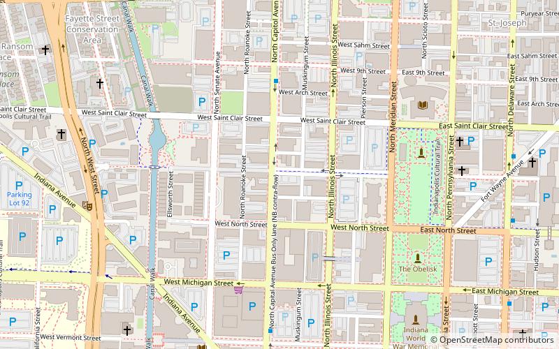
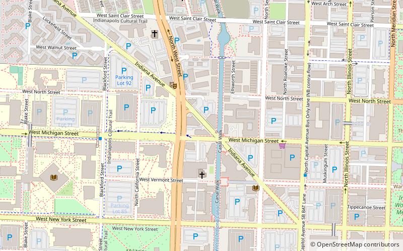
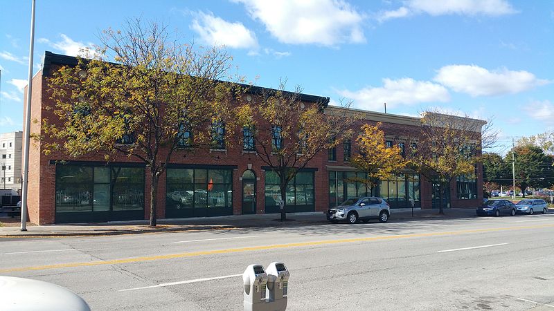
Indiana Avenue is a historic area in downtown and is one of seven designated cultural districts in Indianapolis, Indiana. Indiana Avenue was, during its glory days, an African American cultural center of the area. The Indiana Avenue Historic District within the area was designated a United States national historic district in 1987. ()
Coordinates: 39°46'29"N, 86°9'57"W
Address
Downtown Indianapolis (Canal and White River State Park District)Indianapolis
ContactAdd
Social media
Add
Day trips
Indiana Avenue – popular in the area (distance from the attraction)
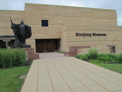
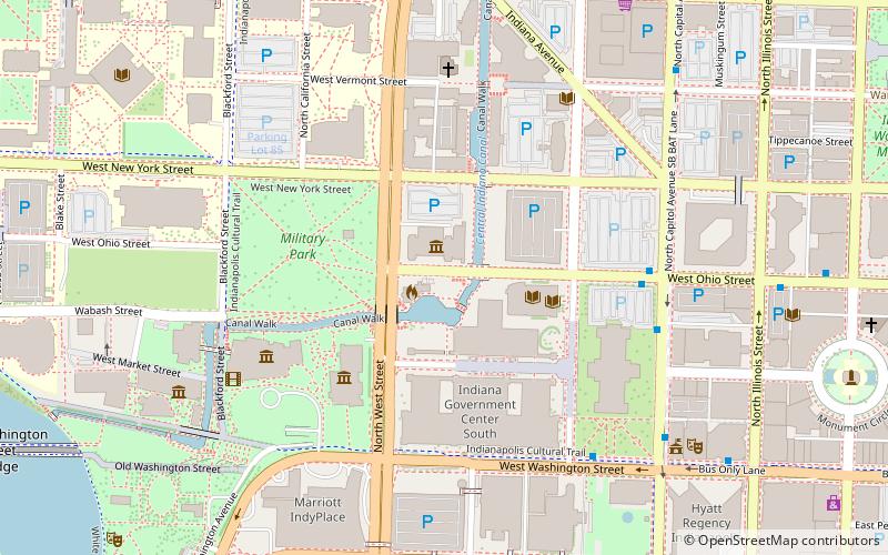
Nearby attractions include: Eiteljorg Museum of American Indians and Western Art, Indiana University Natatorium, Indiana State Museum, Scottish Rite Cathedral.
Frequently Asked Questions (FAQ)
Which popular attractions are close to Indiana Avenue?
Nearby attractions include Madame Walker Theatre Center, Indianapolis (3 min walk), Bethel A.M.E. Church, Indianapolis (3 min walk), Kurt Vonnegut Memorial Library, Indianapolis (5 min walk), Glick Peace Walk, Indianapolis (8 min walk).
How to get to Indiana Avenue by public transport?
The nearest stations to Indiana Avenue:
Train
Bus
Train
- Canal (14 min walk)
- Indiana University/Riley (16 min walk)
Bus
- FlixBus Indianapolis • Lines: 2511 (22 min walk)
- G • Lines: 39 (22 min walk)

