Desert Palms Park, Tucson
Map

Map

Facts and practical information
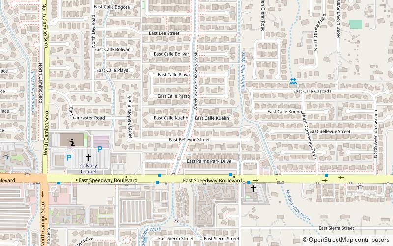
Desert Palms Park is a neighborhood in Tucson, Arizona. It is located in the east side of the city, between 8900-9100 east and 1300-1800 north. It is bordered by Speedway Boulevard to the South and Wrightstown Road to the North. The Catalina Mountains can be seen to the north and the Rincon Mountains to the east. ()
Coordinates: 32°14'15"N, 110°48'1"W
Address
Catalina FoothillsTucson
ContactAdd
Social media
Add
Day trips
Desert Palms Park – popular in the area (distance from the attraction)
Nearby attractions include: Park Place, Sabino Canyon, Fort Lowell Museum, Golf 'N Stuff.


