Fisher's Lane, Philadelphia
Map

Map

Facts and practical information
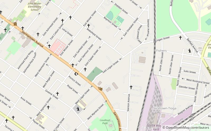
Fisher's Lane is a national historic district located on East Logan Street in the Wister neighborhood of Philadelphia, Pennsylvania. The district includes 12 contributing buildings and 3 contributing structures in a residential section of Wister. The houses are representative of the Second Empire and Italianate-styles of architecture. ()
Architectural style: Renaissance revivalCoordinates: 40°1'46"N, 75°9'40"W
Address
Upper NorthwestPhiladelphia
ContactAdd
Social media
Add
Day trips
Fisher's Lane – popular in the area (distance from the attraction)
Nearby attractions include: Grumblethorpe, La Salle University Art Museum, Wissahickon, Germantown White House.
Frequently Asked Questions (FAQ)
Which popular attractions are close to Fisher's Lane?
Nearby attractions include Charles Schaeffer School, Philadelphia (4 min walk), Colonial Germantown Historic District, Philadelphia (7 min walk), Edwin Fitler Academics Plus School, Philadelphia (10 min walk), Wister, Philadelphia (11 min walk).
How to get to Fisher's Lane by public transport?
The nearest stations to Fisher's Lane:
Train
Metro
Bus
Train
- Wayne Junction (12 min walk)
- Wister (13 min walk)
Metro
- Logan • Lines: Bsl (20 min walk)
- Wyoming • Lines: Bsl (20 min walk)
Bus
- Olney Transportation Center (29 min walk)

 SEPTA Regional Rail


