Broome Street, New York City
Map
Map

Facts and practical information
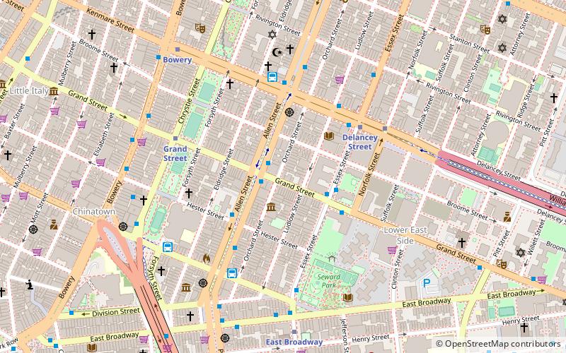
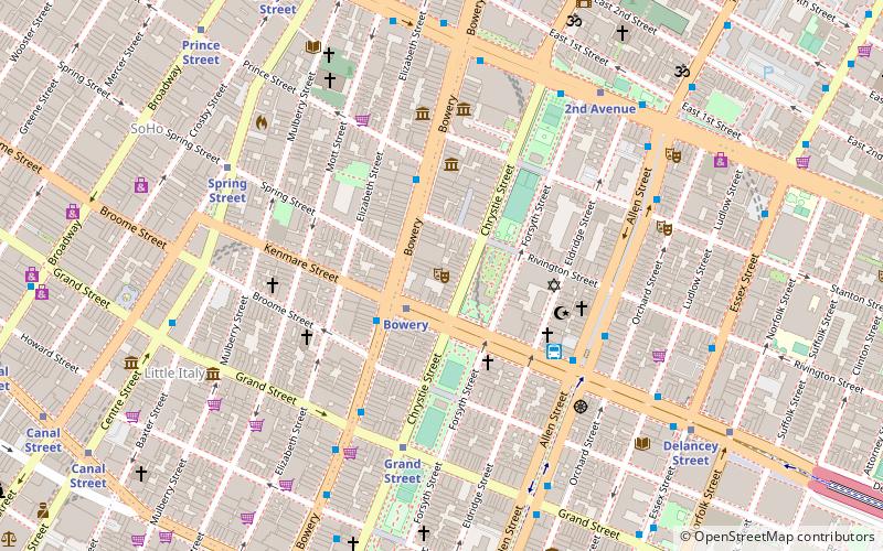
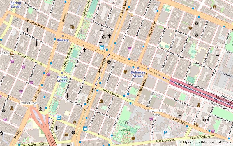
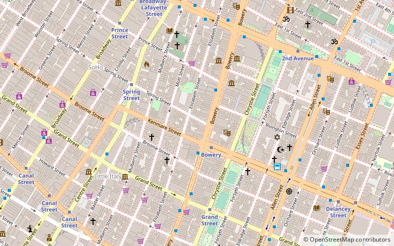
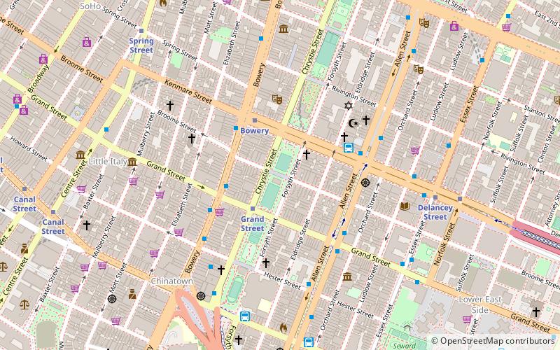
Broome Street is an east–west street in Lower Manhattan. It runs nearly the full width of Manhattan island, from Hudson Street in the west to Lewis Street in the east, near the entrance to the Williamsburg Bridge. The street is interrupted in a number of places by parks, buildings, and Allen Street's median. The street was named after Staten Island-born John Broome, who was a Colonial merchant and politician and became a Lieutenant Governor of New York State. ()
Address
Downtown Manhattan (Bowery)New York City
ContactAdd
Social media
Add
Day trips
Broome Street – popular in the area (distance from the attraction)
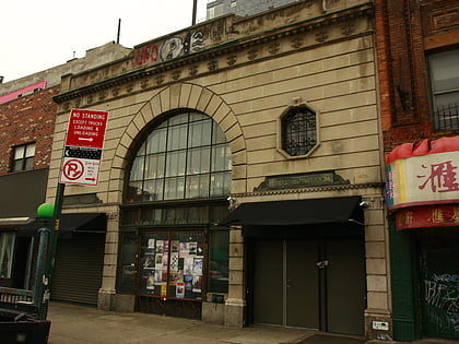
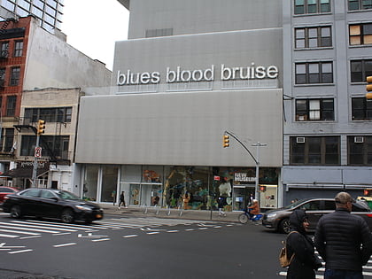
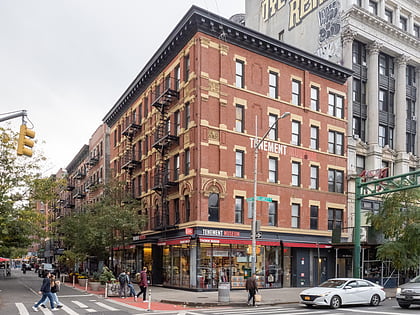
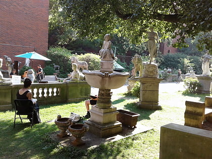
Nearby attractions include: Bowery Ballroom, New Museum, Lower East Side Tenement Museum, Elizabeth Street Garden.
Frequently Asked Questions (FAQ)
Which popular attractions are close to Broome Street?
Nearby attractions include Essex Crossing, New York City (1 min walk), Forsyth Street, New York City (1 min walk), The Lodge Gallery, New York City (2 min walk), WhiteBox, New York City (2 min walk).
How to get to Broome Street by public transport?
The nearest stations to Broome Street:
Metro
Bus
Ferry
Metro
- Grand Street • Lines: B, D (3 min walk)
- Bowery • Lines: J, Z (3 min walk)
Bus
- D3 Busline (4 min walk)
- Allen Street & Grand Street • Lines: M15, M15-Sbs (4 min walk)
Ferry
- Pier 11/Wall Street Terminal (34 min walk)

 Subway
 Manhattan Buses