Stonewood-Pentwood-Winston, Baltimore

Gallery (2)
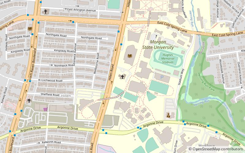
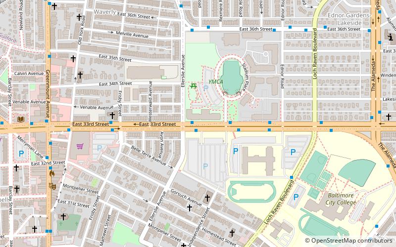
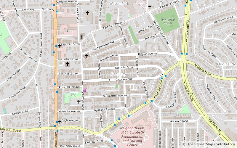
Map


Map
Gallery
Facts and practical information
Stonewood-Pentwood-Winston is a small community just west of Hillen Road and Morgan State University in Baltimore, Maryland, United States. The community association is aptly named the Stonewood-Pentwood-Winston Community Association and it has applied and received permission to have residential parking permits issued to its members as the result of the proliferation of students from Morgan parking in the neighborhood. ()
Coordinates: 39°20'44"N, 76°35'19"W
Address
Northeastern Baltimore (Hillen)Baltimore
ContactAdd
Social media
Add
Getting there by public transportation
Public transportation stops near this location
- Bus
 Bus
Bus
- Calculate routeCold Spring Lane & York Road Westbound 29 min walk
- Calculate routeYork Road & Cold Spring Lane Northbound 29 min walk
Day trips


Frequently Asked Questions (FAQ)
Which popular attractions are close to Stonewood-Pentwood-Winston?
Nearby attractions include Morgan State University Memorial Chapel, Baltimore (6 min walk), Hillen, Baltimore (7 min walk), Perring-Loch, Baltimore (14 min walk), Sydenham Hospital for Communicable Diseases, Baltimore (19 min walk).
How to get to Stonewood-Pentwood-Winston by public transport?
The nearest stations to Stonewood-Pentwood-Winston:
Bus
Bus
- Cold Spring Lane & York Road Westbound • Lines: 28 (29 min walk)
- York Road & Cold Spring Lane Northbound • Lines: 52, Rd (29 min walk)