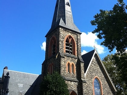
Better Waverly, Baltimore
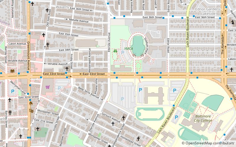
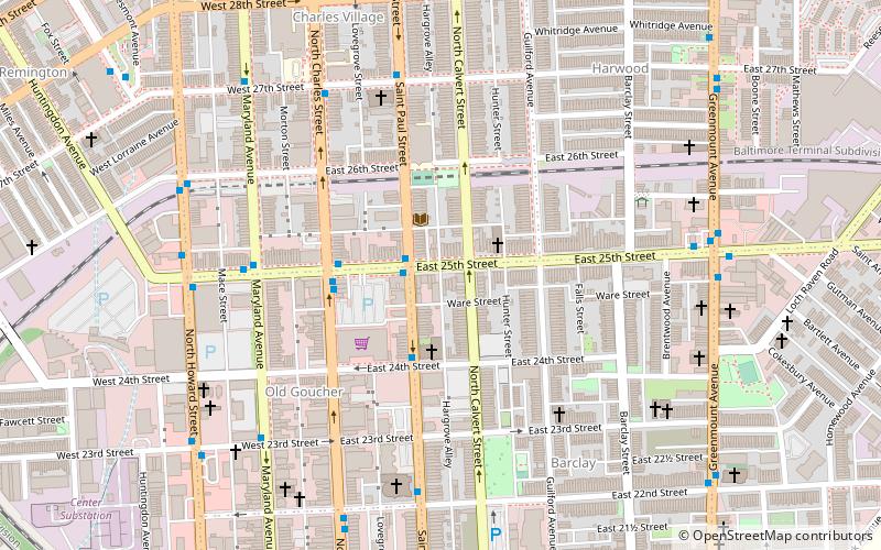
Map
Facts and practical information
Better Waverly is a neighborhood in the North District of Baltimore, located between the neighborhoods of Charles Village and Coldstream-Homestead-Montebello. Its boundaries are marked by East 33rd Street, Exeter Hall Avenue, Greenmount Avenue and Loch Raven Road. ()
Coordinates: 39°19'43"N, 76°36'11"W
Address
Northeastern Baltimore (Ednor Gardens - Lakeside)Baltimore
ContactAdd
Social media
Add
Day trips
Better Waverly – popular in the area (distance from the attraction)
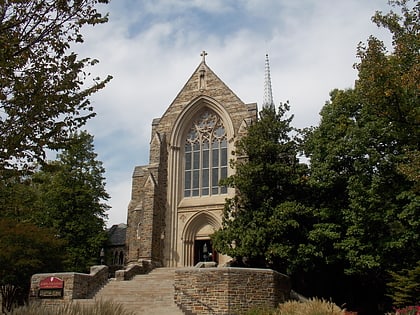
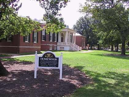
Nearby attractions include: Baltimore Museum of Art, Lake Montebello, Cathedral of the Incarnation, Homewood Museum.
Frequently Asked Questions (FAQ)
Which popular attractions are close to Better Waverly?
Nearby attractions include Venable Park, Baltimore (6 min walk), Waverly Main Street Historic District, Baltimore (9 min walk), St. John's Episcopal Church, Baltimore (10 min walk), Ednor Gardens-Lakeside, Baltimore (11 min walk).
How to get to Better Waverly by public transport?
The nearest stations to Better Waverly:
Bus
Light rail
Bus
- Greenmount Avenue & 35th Street Northbound • Lines: 52, Rd (10 min walk)
Light rail
- North Avenue • Lines: Lr (40 min walk)


