Kāhala, Honolulu
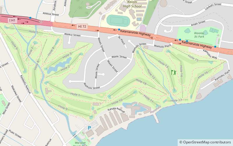
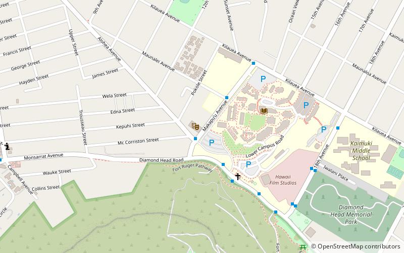
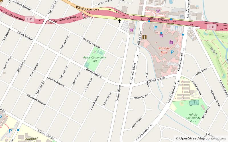
Map

Map

Facts and practical information
Kāhala, is a neighborhood in Honolulu, Hawaii. Kahala contains a large concentration of expensive real estate and beachfront properties, which include some of the most expensive in the entire state. Kahala consists of approximately 1,200 homes. The neighborhood is considered a “cinderella story” because it went from farmland to one of the nicest neighborhoods on Oahu. ()
Coordinates: 21°15'59"N, 157°47'2"W
Address
Waialae - KahalaHonolulu
ContactAdd
Social media
Add
Day trips
Kāhala – popular in the area (distance from the attraction)
Nearby attractions include: Kahala Mall, Shangri La, Waialae Country Club, Kapiolani Community College Cactus Garden.
Frequently Asked Questions (FAQ)
Which popular attractions are close to Kāhala?
Nearby attractions include Waialae, Honolulu (19 min walk), Pacific Historic Parks - Diamond Head State Monument, Honolulu (22 min walk).
How to get to Kāhala by public transport?
The nearest stations to Kāhala:
Bus
Bus
- Diamond Head Road + Opposite 18th Avenue • Lines: 23, 24, 9 (27 min walk)
- Diamond Head Road + 18th Avenue • Lines: 23, 24, 3, 9 (28 min walk)


