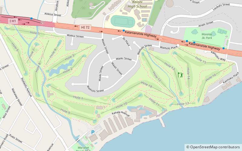
Waialae, Honolulu
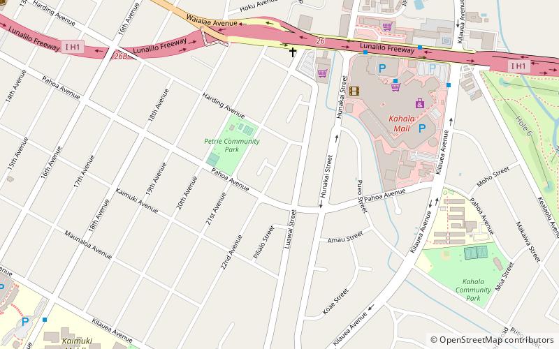
Map
Facts and practical information
Waiʻalae is a neighborhood of Honolulu on the island of Oʻahu in Hawaiʻi, United States. The Waiʻalae means "mudhen water". The Waiʻalae Country Club is here and Waiʻalae Iki and Waiʻalae Nui, which are above Waiʻalae along the ridge, are located here, also. It is also home to Chaminade University of Honolulu. Val Ossipoff designed many organic homes and buildings in Waiʻalae Nui. ()
Coordinates: 21°16'30"N, 157°47'24"W
Address
KaimukiHonolulu
ContactAdd
Social media
Add
Getting there by public transportation
Public transportation stops near this location
- Bus
 Bus
Bus
- Calculate routeDiamond Head Road + Opposite 18th Avenue 21 min walk
- Calculate routeDiamond Head Road + 18th Avenue 22 min walk
Day trips


Frequently Asked Questions (FAQ)
Which popular attractions are close to Waialae?
Nearby attractions include Pacific Historic Parks - Diamond Head State Monument, Honolulu (18 min walk), Kāhala, Honolulu (19 min walk), Kapiolani Community College Cactus Garden, Honolulu (21 min walk), Lemon Wond Holt House, Honolulu (22 min walk).
How to get to Waialae by public transport?
The nearest stations to Waialae:
Bus
Bus
- Diamond Head Road + Opposite 18th Avenue • Lines: 23, 24, 9 (21 min walk)
- Diamond Head Road + 18th Avenue • Lines: 23, 24, 3, 9 (22 min walk)