Beverly Boulevard, Los Angeles
Map
Gallery
Facts and practical information
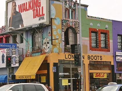
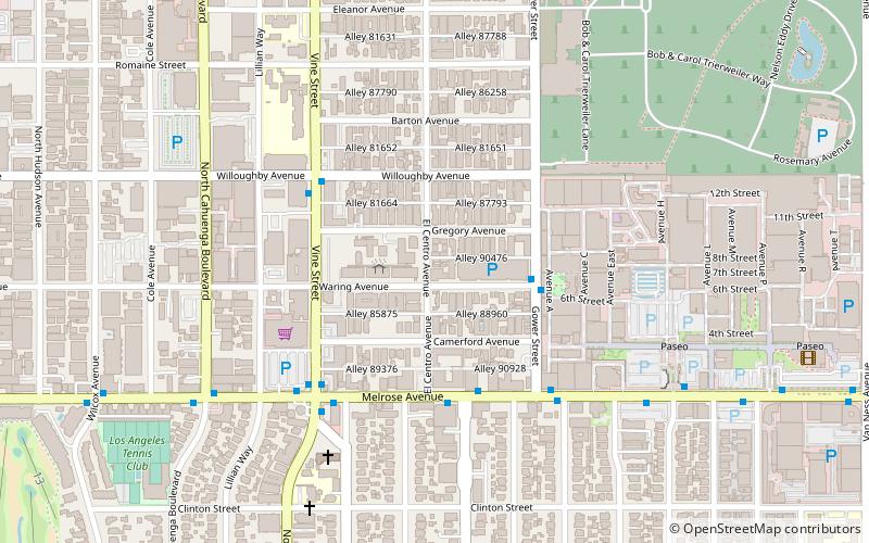
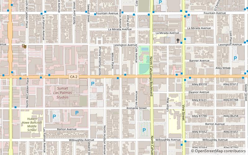
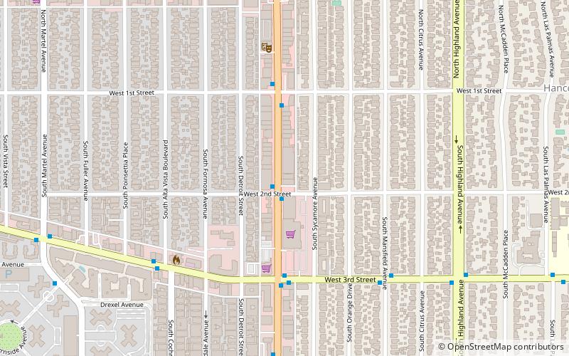
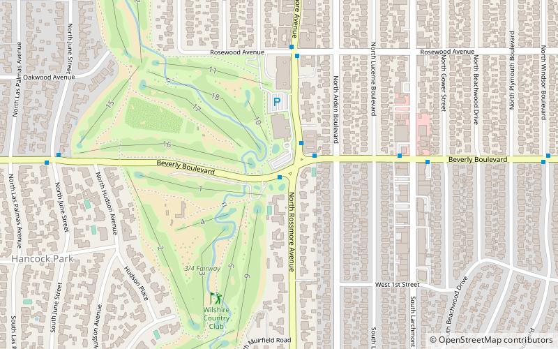
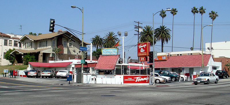
Beverly Boulevard is one of the main east-west thoroughfares in Los Angeles, in the U.S. state of California. It begins off Santa Monica Boulevard in Beverly Hills and ends on the Lucas Avenue overpass near downtown Los Angeles to become 1st Street. A separate Beverly Boulevard begins off 3rd Street and Pomona Boulevard in East Los Angeles, runs through Montebello and Pico Rivera, and becomes Turnbull Canyon Road in Whittier near Rose Hills Memorial Park. ()
Address
Central Los Angeles (Greater Wilshire)Los Angeles
ContactAdd
Social media
Add
Day trips
Beverly Boulevard – popular in the area (distance from the attraction)
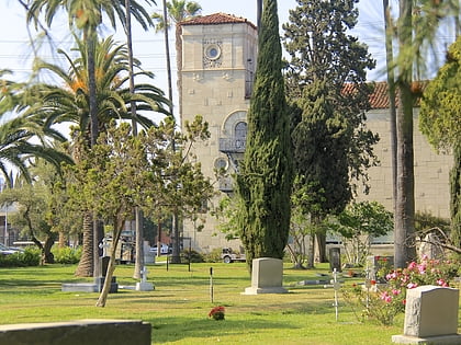
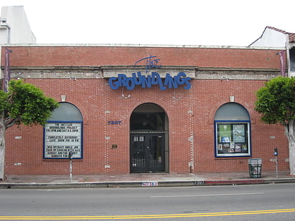
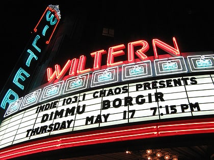
Nearby attractions include: Hollywood Forever Cemetery, West Hollywood Gateway, The Groundlings, The Wiltern.
Frequently Asked Questions (FAQ)
Which popular attractions are close to Beverly Boulevard?
Nearby attractions include John C. Fremont Branch Library, Los Angeles (16 min walk), Windsor Square, Los Angeles (17 min walk), El Centro Theatre, Los Angeles (18 min walk), Jan Kesner Gallery, Los Angeles (20 min walk).
How to get to Beverly Boulevard by public transport?
The nearest stations to Beverly Boulevard:
Bus
Metro
Bus
- Melrose & Arden • Lines: 10 (14 min walk)
Metro
- Wilshire/Western • Lines: D (38 min walk)

 Metro & Regional Rail