Highland Park Residential Historic District, Pittsburgh
Map

Map

Facts and practical information
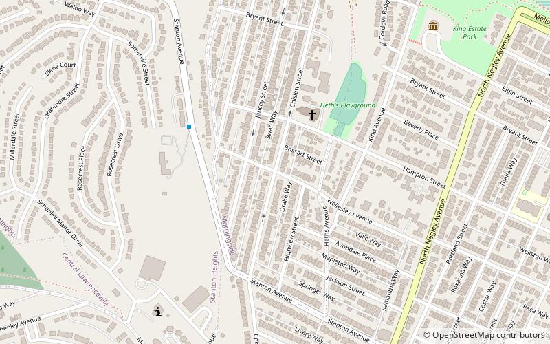
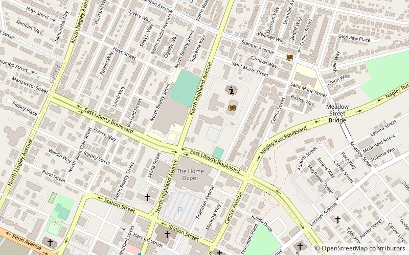
The Highland Park Residential Historic District is a historic district in the Highland Park neighborhood of Pittsburgh, Pennsylvania, United States. Almost 2,000 buildings are in the district, most of them residences. Many of the houses in this district were built from the 1860s into the 1930s, and are constructed in several Victorian and early 20th century styles. ()
Coordinates: 40°28'33"N, 79°55'48"W
Address
East End (Morningside)Pittsburgh
ContactAdd
Social media
Add
Day trips
Highland Park Residential Historic District – popular in the area (distance from the attraction)
Nearby attractions include: Pittsburgh Zoo & PPG Aquarium, Highland Park, Allegheny Cemetery, Center for PostNatural History.
Frequently Asked Questions (FAQ)
Which popular attractions are close to Highland Park Residential Historic District?
Nearby attractions include King Estate, Pittsburgh (10 min walk), James Scott House, Pittsburgh (11 min walk), Morningside, Pittsburgh (12 min walk), Stanton Heights, Pittsburgh (15 min walk).
How to get to Highland Park Residential Historic District by public transport?
The nearest stations to Highland Park Residential Historic District:
Bus
Bus
- Highland Avenue at Broad Street • Lines: 71B (25 min walk)
- Washington Blvd opp Highland Dr • Lines: P10 (29 min walk)


