Highland Park Bridge, Pittsburgh
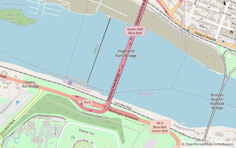
Map
Map

Facts and practical information
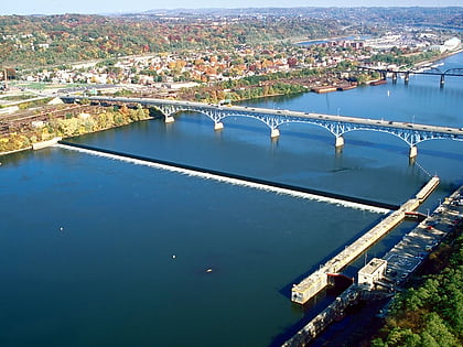
The Highland Park Bridge is a truss bridge that carries vehicular traffic across the Allegheny River between the Pittsburgh neighborhood of Highland Park and the suburb of Aspinwall. It replaced a much narrower 1902 streetcar bridge that was ill-equipped to handle heavy commuter traffic, as part of the process of suburbanization in the hills northeast of the city. ()
Coordinates: 40°29'17"N, 79°54'45"W
Address
East End (Highland Park)Pittsburgh
ContactAdd
Social media
Add
Day trips
Highland Park Bridge – popular in the area (distance from the attraction)
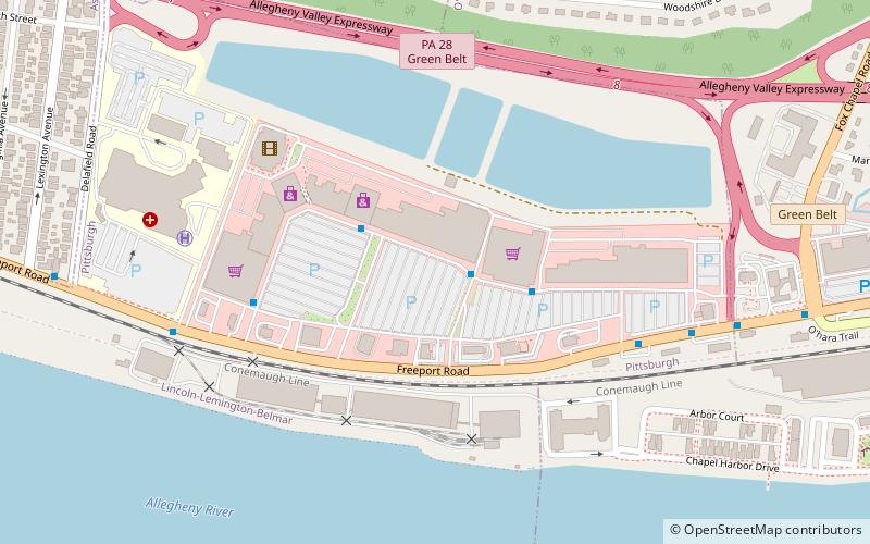
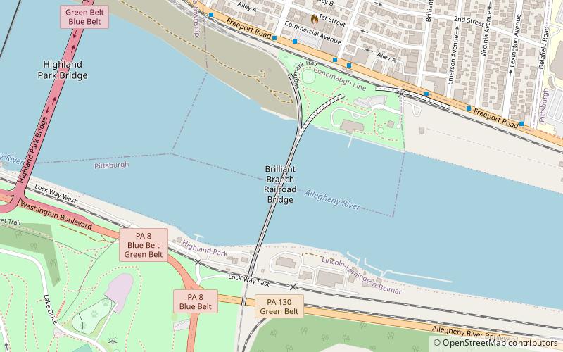
Nearby attractions include: Pittsburgh Zoo & PPG Aquarium, Highland Park, Waterworks Mall, Brilliant Branch Railroad Bridge.
Frequently Asked Questions (FAQ)
Which popular attractions are close to Highland Park Bridge?
Nearby attractions include Allegheny River Lock and Dam No. 2, Pittsburgh (4 min walk), Brilliant Branch Railroad Bridge, Pittsburgh (10 min walk), Pittsburgh Zoo & PPG Aquarium, Pittsburgh (12 min walk), Welcome Sculptures, Pittsburgh (18 min walk).
How to get to Highland Park Bridge by public transport?
The nearest stations to Highland Park Bridge:
Bus
Bus
- Freeport Rd at Western Ave • Lines: 1 (9 min walk)
- Main St at 21st St • Lines: 1 (11 min walk)
