Euclid Avenue Historic District, Cleveland
Map
Map

Facts and practical information
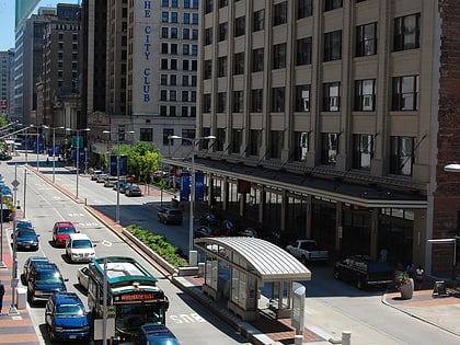
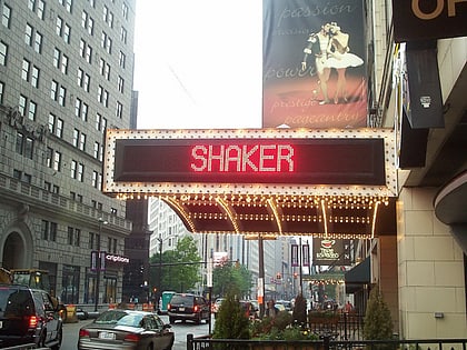
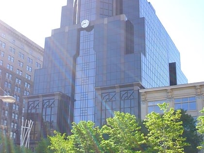
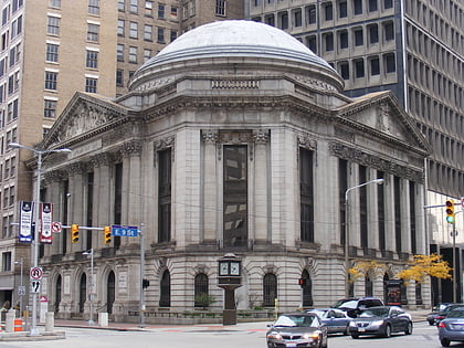
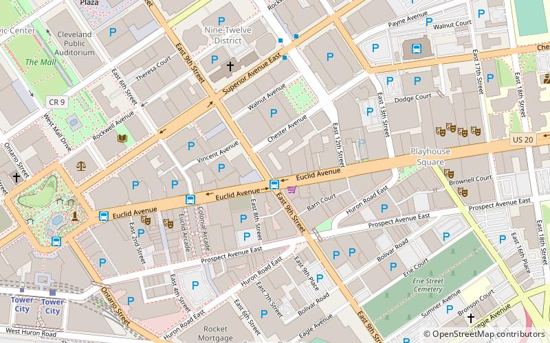
The Euclid Avenue Historic District is a historic district in downtown Cleveland, Ohio, United States. Established and listed on the National Register of Historic Places in 2002, it comprises 125 acres along Euclid Avenue and parallel streets from Public Square to East 21st Street. In 2007, another 4 acres was added to the district; the boundary increase included buildings exclusively located along parallel streets. ()
Coordinates: 41°30'2"N, 81°41'12"W
Address
Downtown Cleveland (Gateway District)Cleveland
ContactAdd
Social media
Add
Day trips
Euclid Avenue Historic District – popular in the area (distance from the attraction)
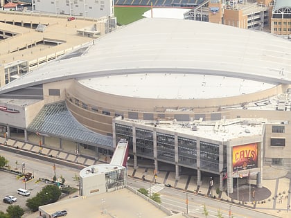
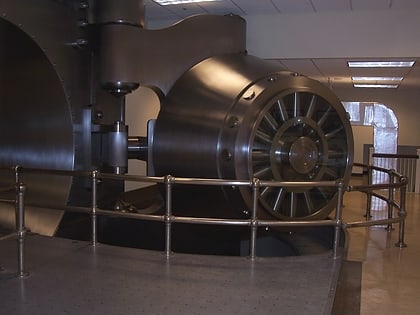
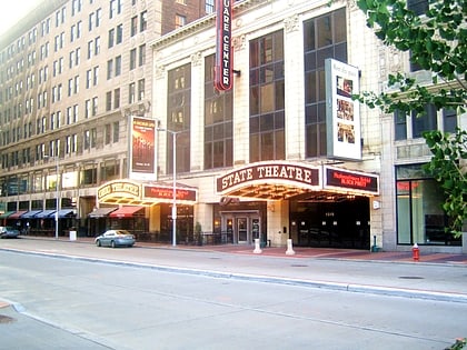
Nearby attractions include: Cleveland Arcade, Quicken Loans Arena, Federal Reserve Bank of Cleveland, Playhouse Square.
Frequently Asked Questions (FAQ)
Which popular attractions are close to Euclid Avenue Historic District?
Nearby attractions include The 925 Building, Cleveland (1 min walk), Cleveland Trust Company Building, Cleveland (2 min walk), Nine-Twelve District, Cleveland (3 min walk), Statler Arms Apartments, Cleveland (3 min walk).
How to get to Euclid Avenue Historic District by public transport?
The nearest stations to Euclid Avenue Historic District:
Bus
Light rail
Metro
Train
Bus
- East 6th Street (4 min walk)
- East 14th Street (7 min walk)
Light rail
- Tower City • Lines: 67Ax, 67AX Blue, Blue, Green (11 min walk)
- East 9th–North Coast • Lines: 67Ax, 67AX Blue, Blue, Green (15 min walk)
Metro
- Tower City • Lines: Red (12 min walk)
- West 25th–Ohio City • Lines: Red (34 min walk)
Train
- Cleveland (16 min walk)


