Pascault Row, Baltimore
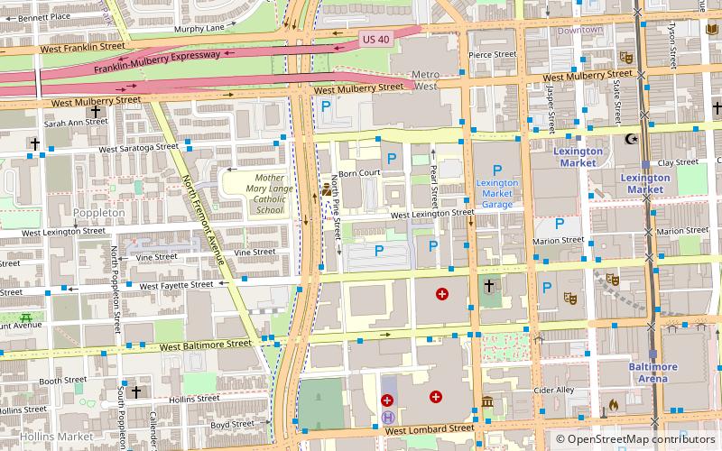
Map
Map

Facts and practical information
Pascault Row is a national historic district in Baltimore, Maryland, United States. It was built by Louis Pascault, Marquis de Poleon and consists of a range of eight 3+1⁄2-story dwellings. It is Baltimore's last remaining example of early-19th-century townhouses, and illustrates the transition between the Federal and the early Greek Revival periods. They are attributed to William F. Small, at that time employed in the architectural office of Benjamin Henry Latrobe. ()
Coordinates: 39°17'28"N, 76°37'35"W
Address
Central Baltimore (University of MD at Baltimore)Baltimore
ContactAdd
Social media
Add
Day trips
Pascault Row – popular in the area (distance from the attraction)
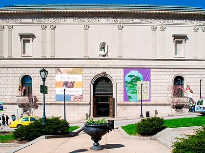
Nearby attractions include: Oriole Park at Camden Yards, Walters Art Museum, Royal Farms Arena, Lexington Market.
Frequently Asked Questions (FAQ)
Which popular attractions are close to Pascault Row?
Nearby attractions include Old Pine Street Station, Baltimore (3 min walk), Westminster Hall and Burying Ground, Baltimore (5 min walk), Old Saint Paul's Cemetery, Baltimore (6 min walk), Lexington Market, Baltimore (7 min walk).
How to get to Pascault Row by public transport?
The nearest stations to Pascault Row:
Bus
Metro
Light rail
Train
Bus
- Pine Street • Lines: Orange (4 min walk)
- Fremont Avenue - UMD Biopark Westbound • Lines: Orange (5 min walk)
Metro
- Lexington Market • Lines: M (8 min walk)
- Charles Center • Lines: M (17 min walk)
Light rail
- Lexington Market • Lines: Lr (10 min walk)
- Baltimore Arena • Lines: Lr (11 min walk)
Train
- Baltimore Camden Station (16 min walk)
- Baltimore Penn Station (33 min walk)

