Victory, Minneapolis

Map
Facts and practical information
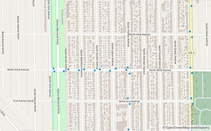
The Victory neighborhood is located within the Camden community of Minneapolis. It is bordered by the Humboldt Industrial Area on the north, Penn Avenue on the east, Dowling Avenue on the south, and the town of Robbinsdale on the west. Victory Memorial Parkway, from which the neighborhood takes its name, runs through the neighborhood and forms part of the western border. ()
Area: 0.68 mi²Coordinates: 45°1'54"N, 93°18'56"W
Address
Camden (Victory)Minneapolis
ContactAdd
Social media
Add
Day trips
Victory – popular in the area (distance from the attraction)
Nearby attractions include: Victory Memorial Parkway, Bohanon Park, Terrace Theatre, Lind-Bohanon.
Frequently Asked Questions (FAQ)
Which popular attractions are close to Victory?
Nearby attractions include Victory Memorial Parkway, Minneapolis (4 min walk), Webber-Camden, Minneapolis (20 min walk).
How to get to Victory by public transport?
The nearest stations to Victory:
Bus
Bus
- Robbinsdale Transit Center (31 min walk)


