Folwell, Minneapolis

Map
Facts and practical information
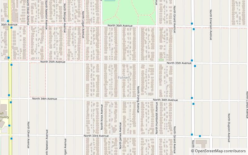
Folwell is a neighborhood in the U.S. city of Minneapolis on its northside that is bound by Dowling Avenue to the north, Dupont Avenue North to the east, Lowry Avenue North to the south, and Penn Avenue North to the west. It is part of the larger Camden community. Located within the neighborhood is the 27-acre Folwell Park. The neighborhood and park are named after the American scholar and writer William Watts Folwell. ()
Area: 0.56 mi²Coordinates: 45°1'4"N, 93°18'1"W
Address
Camden (Folwell)Minneapolis
ContactAdd
Social media
Add
Day trips
Folwell – popular in the area (distance from the attraction)
Nearby attractions include: Victory Memorial Parkway, Lowry Avenue Bridge, Canadian Pacific Camden Place Rail Bridge, North Regional Library.
Frequently Asked Questions (FAQ)
Which popular attractions are close to Folwell?
Nearby attractions include North Regional Library, Minneapolis (10 min walk), Fredrika Bremer Intermediate School, Minneapolis (11 min walk), Webber-Camden, Minneapolis (21 min walk), McKinley, Minneapolis (22 min walk).
How to get to Folwell by public transport?
The nearest stations to Folwell:
Bus
Bus
- Penn & West Broadway (27 min walk)


